
Attēls:Europe location WAL2.png

Šī priekšskata izmērs: 800 × 600 pikseļi. Citi izmēri: 320 × 240 pikseļi | 640 × 480 pikseļi | 1 024 × 768 pikseļi | 1 280 × 960 pikseļi | 1 600 × 1 200 pikseļi.
Sākotnējais fails (1 600 × 1 200 pikseļi, faila izmērs: 803 KB, MIME tips: image/png)
| Šis fails ir no Vikikrātuves. Tā apraksts no attēla lapas Vikikrātuvē ir parādīts zemāk. Vikikrātuve ir brīvi licencēta failu krātuve. Tu vari tai palīdzēt. |
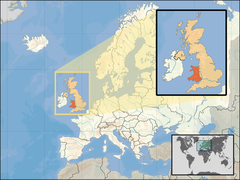
| Apraksts | Location of Wales in the UK and Europe, on terrain map showing surface and underwater contour areas. | |||
| Datums | ||||
| Avots | Derived from Wikimedia Commons image of original work forming part of the "Europe location" map series created by David Liuzzo: derived from Image:Europe_location_WAL.png. | |||
| Autors | uploaded by User:Kmusser (excerpt from User:David_Liuzzo) | |||
| Atļauja: (Šī faila izmantošana citur) |
|
|||
| Citas versijas |
|


Faila hronoloģija
Uzklikšķini uz datums/laiks kolonnā esošās saites, lai apskatītos, kā šis fails izskatījās tad.
| Datums/Laiks | Attēls | Izmēri | Dalībnieks | Komentārs | |
|---|---|---|---|---|---|
| tagadējais | 2008. gada 24. septembris, plkst. 20.20 | | 1 600 × 1 200 (803 KB) | Kmusser | {{Information |Description= Location of Wales in the UK and Europe, on terrain map showing surface and underwater contour areas. |Source=Derived from Wikimedia Commons image of original work forming part of the "Europe location" map series cre |
Faila lietojums
Šo failu neizmanto nevienā lapā.
Globālais faila lietojums
Šīs Vikipēdijas izmanto šo failu:
- Izmantojums an.wikipedia.org
- Izmantojums ar.wikipedia.org
- Izmantojums az.wiktionary.org
- Izmantojums el.wikivoyage.org
- Izmantojums en.wikipedia.org
- Izmantojums eu.wiktionary.org
- Izmantojums fo.wikipedia.org
- Izmantojums gag.wikipedia.org
- Izmantojums gom.wikipedia.org
- Izmantojums gv.wikipedia.org
- Izmantojums id.wikibooks.org
- Izmantojums incubator.wikimedia.org
- Izmantojums kaa.wikipedia.org
- Izmantojums kn.wikipedia.org
- Izmantojums la.wikipedia.org
- Izmantojums mr.wikipedia.org
- Izmantojums my.wikipedia.org
- Izmantojums nds-nl.wikipedia.org
- Izmantojums pl.wikipedia.org
- Izmantojums pl.wikivoyage.org
- Izmantojums pl.wiktionary.org
- Izmantojums pnb.wikipedia.org
- Izmantojums ru.wiktionary.org
- Izmantojums su.wikipedia.org
- Izmantojums ug.wikipedia.org
- Izmantojums war.wikipedia.org
- Izmantojums yo.wikipedia.org
- Izmantojums zu.wikipedia.org