
Attēls:LocationOceans.png
Šī priekšskata izmērs: 800 × 407 pikseļi. Citi izmēri: 320 × 163 pikseļi | 640 × 326 pikseļi | 1 024 × 521 pikseļi | 1 280 × 651 pikseļi | 2 759 × 1 404 pikseļi.
Sākotnējais fails (2 759 × 1 404 pikseļi, faila izmērs: 55 KB, MIME tips: image/png)
| Šis fails ir no Vikikrātuves. Tā apraksts no attēla lapas Vikikrātuvē ir parādīts zemāk. Vikikrātuve ir brīvi licencēta failu krātuve. Tu vari tai palīdzēt. |

|
This locator map image could be re-created using vector graphics as an SVG file. This has several advantages; see Commons:Media for cleanup for more information. If an SVG form of this image is available, please upload it and afterwards replace this template with
{{vector version available|new image name}}.
It is recommended to name the SVG file “LocationOceans.svg”—then the template Vector version available (or Vva) does not need the new image name parameter. |
Kopsavilkums
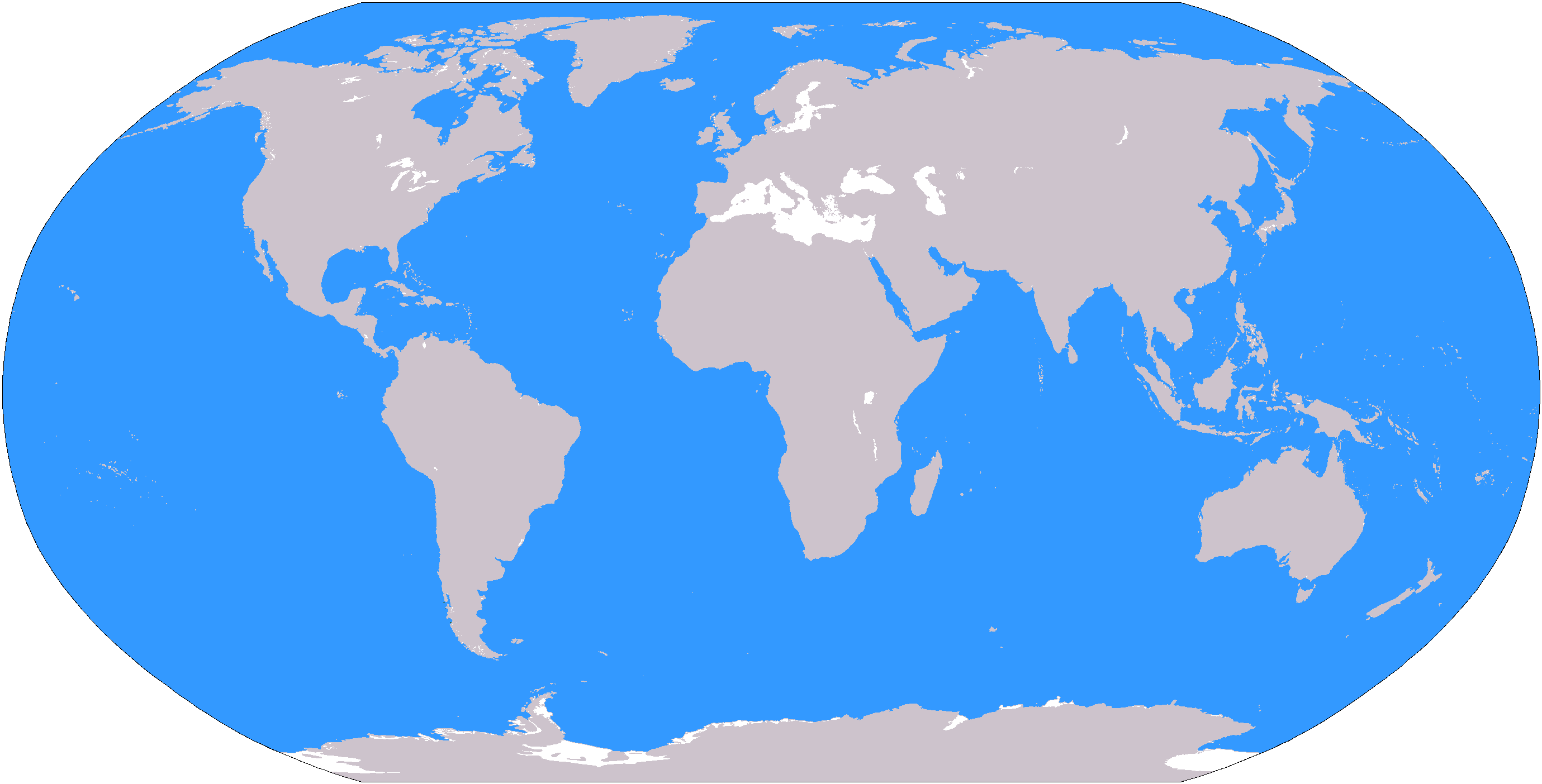
The large plain-grey Image:LocationWorld.png map modified to show oceanic areas in blue.
Licence
This image is in the public domain because it contains materials that originally came from the United States Central Intelligence Agency's World Factbook.
|
 |
Faila hronoloģija
Uzklikšķini uz datums/laiks kolonnā esošās saites, lai apskatītos, kā šis fails izskatījās tad.
| Datums/Laiks | Attēls | Izmēri | Dalībnieks | Komentārs | |
|---|---|---|---|---|---|
| tagadējais | 2006. gada 8. marts, plkst. 22.26 | | 2 759 × 1 404 (55 KB) | David Kernow~commonswiki | The large plain-grey Image:LocationWorld.png map modified to show oceanic areas in blue. |
Faila lietojums
Šo failu izmanto šajās 42 lapās:
- Amerika
- Antarktika
- Austrumeiropa
- Austrumāfrika
- Austrumāzija
- Austrālija (kontinents)
- Austrālija un Okeānija
- Austrālāzija
- Balkānu pussala
- Baltijas valstis
- Centrālamerika
- Centrāleiropa
- Centrālā Āfrika
- Centrālāzija
- Dienvidamerika
- Dienvidaustrumāzija
- Dienvideiropa
- Dienvidrietumāzija
- Dienvidāfrika (reģions)
- Dienvidāzija
- Eiropa
- Indijas subkontinents
- Karību reģions
- Latīņamerika
- Levante
- Magriba
- Mikronēzija (reģions)
- Polinēzija
- Rietumeiropa
- Rietumāfrika
- Skandināvija
- Tuvie Austrumi
- Tālie Austrumi
- Vidusamerika
- Vidējie Austrumi
- Ziemeļamerika
- Ziemeļeiropa
- Ziemeļāfrika
- Ziemeļāzija
- Āfrika
- Āzija
- Veidne:Pasaules reģioni
Globālais faila lietojums
Šīs Vikipēdijas izmanto šo failu:
- Izmantojums af.wikipedia.org
- Australasië
- Midde-Ooste
- Sentraal-Amerika
- Atlantiese Oseaan
- Suider-Afrika
- Indiese Oseaan
- Suidelike Oseaan
- Arktiese Oseaan
- Stille Oseaan
- Latyns-Amerika
- Oos-Asië
- Sjabloon:Gebiede van die wêreld
- Noord-Europa
- Melanesië
- Mikronesië
- Polinesië
- Oos-Afrika
- Wes-Afrika
- Noord-Afrika
- Oos-Europa
- Verre Ooste
- Sentraal-Afrika
- Afrika suid van die Sahara
- Seelandië
- Noordpoolgebied
- Karibiese gebied
- Indiese subkontinent
- Suidoos-Asië
- Wes-Asië
- Wes-Europa
- Suid-Europa
- Suid-Asië
- Sentraal-Asië
- Sentraal-Europa
- Suidoos-Europa
- Noord-Asië
- Izmantojums ar.wikipedia.org
Skatīt šī faila pilno globālo izmantojumu.