
Attēls:Maginot line 1.jpg

Šī priekšskata izmērs: 800 × 600 pikseļi. Citi izmēri: 320 × 240 pikseļi | 640 × 480 pikseļi | 1 024 × 768 pikseļi | 1 280 × 960 pikseļi | 2 048 × 1 536 pikseļi.
Sākotnējais fails (2 048 × 1 536 pikseļi, faila izmērs: 2,83 MB, MIME tips: image/jpeg)
| Šis fails ir no Vikikrātuves. Tā apraksts no attēla lapas Vikikrātuvē ir parādīts zemāk. Vikikrātuve ir brīvi licencēta failu krātuve. Tu vari tai palīdzēt. |
Kopsavilkums
| Apraksts |
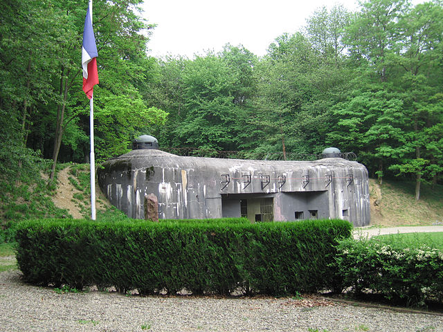
English: The munitions entrance to Ouvrage Schoenenbourg along the Maginot Line in Alsace.
Français : L'entrée des munitions de l'Ouvrage de Schoenenbourg sur la Ligne Maginot en Alsace |
| Avots | Paša darbs |
| Autors | John C. Watkins V, uploaded to en.wikipedia.org by en:User:Jorge1767 |
| Camera location | | View this and other nearby images on: OpenStreetMap |
|---|
Licence
| I, the copyright holder of this work, release this work into the public domain. This applies worldwide. In some countries this may not be legally possible; if so: I grant anyone the right to use this work for any purpose, without any conditions, unless such conditions are required by law. |
Faila hronoloģija
Uzklikšķini uz datums/laiks kolonnā esošās saites, lai apskatītos, kā šis fails izskatījās tad.
| Datums/Laiks | Attēls | Izmēri | Dalībnieks | Komentārs | |
|---|---|---|---|---|---|
| tagadējais | 2006. gada 1. februāris, plkst. 02.16 | | 2 048 × 1 536 (2,83 MB) | Rama | == Summary == The entrance to Ouvrage Schoenenbourg along the Maginot Line in Alsace. Author: John C. Watkins V == Licensing == {{PD-self}} |
Faila lietojums
Šo failu izmanto šajā 1 lapā:
Globālais faila lietojums
Šīs Vikipēdijas izmanto šo failu:
- Izmantojums af.wikipedia.org
- Izmantojums be-tarask.wikipedia.org
- Izmantojums bg.wikipedia.org
- Izmantojums bs.wikipedia.org
- Izmantojums ca.wikipedia.org
- Izmantojums ce.wikipedia.org
- Izmantojums cs.wikipedia.org
- Izmantojums da.wikipedia.org
- Izmantojums el.wikipedia.org
- Izmantojums en.wikipedia.org
- Izmantojums en.wikiquote.org
- Izmantojums eo.wikiquote.org
- Izmantojums es.wikipedia.org
- Izmantojums eu.wikipedia.org
- Izmantojums fa.wikipedia.org
- Izmantojums he.wikipedia.org
- Izmantojums hr.wikipedia.org
- Izmantojums hu.wikipedia.org
- Izmantojums hy.wikipedia.org
- Izmantojums incubator.wikimedia.org
- Izmantojums io.wikipedia.org
- Izmantojums it.wikipedia.org
- Izmantojums ja.wikipedia.org
- Izmantojums ko.wikipedia.org
- Izmantojums mk.wikipedia.org
- Izmantojums ml.wikipedia.org
- Izmantojums mr.wikipedia.org
- Izmantojums ms.wikipedia.org
- Izmantojums nn.wikipedia.org
- Izmantojums no.wikipedia.org
Skatīt šī faila pilno globālo izmantojumu.