
Attēls:Mexico map, MX-ZAC.svg

Size of this PNG preview of this SVG file: 800 × 544 pikseļi. Citi izmēri: 320 × 218 pikseļi | 640 × 435 pikseļi | 1 024 × 696 pikseļi | 1 280 × 870 pikseļi | 2 560 × 1 741 pikseļi | 1 000 × 680 pikseļi.
Sākotnējais fails (SVG fails, definētais izmērs 1 000 × 680 pikseļi, faila izmērs: 123 KB)
| Šis fails ir no Vikikrātuves. Tā apraksts no attēla lapas Vikikrātuvē ir parādīts zemāk. Vikikrātuve ir brīvi licencēta failu krātuve. Tu vari tai palīdzēt. |
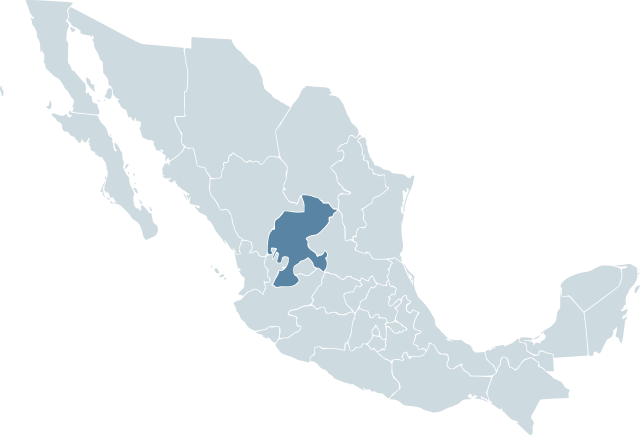
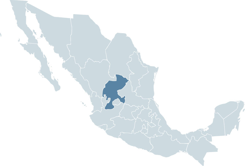
| Apraksts | Locator map for the state of Zacatecas within Mexico. | ||||
| Datums | 04-07-2007 | ||||
| Avots | Mexico template.svg by Mario Fuente Cid and Lokal_Profil | ||||
| Autors | Lokal_Profil | ||||
| Atļauja: (Šī faila izmantošana citur) |
Original image licensed under
|
Faila hronoloģija
Uzklikšķini uz datums/laiks kolonnā esošās saites, lai apskatītos, kā šis fails izskatījās tad.
| Datums/Laiks | Attēls | Izmēri | Dalībnieks | Komentārs | |
|---|---|---|---|---|---|
| tagadējais | 2009. gada 18. novembris, plkst. 03.11 | | 1 000 × 680 (123 KB) | Addicted04 | Reverted to version as of 19:52, 19 November 2007 |
| 2009. gada 1. oktobris, plkst. 05.00 |  | 1 000 × 680 (267 KB) | Addicted04 | States borders | |
| 2007. gada 19. novembris, plkst. 22.52 |  | 1 000 × 680 (123 KB) | El bart089 | updated version, based on map made by Lokal Profil. | |
| 2007. gada 4. jūlijs, plkst. 20.28 |  | 1 000 × 680 (117 KB) | Lokal Profil | {{Information |Description=Locator map for the state of Category:Zacatecas within Mexico. |Source=Image:Mexico template.svg by Mario Fuente Cid <small>and Lokal_Profil</small> |Date=04-07-2007 |Author=[ |
Faila lietojums
Šo failu izmanto šajā 1 lapā:
Globālais faila lietojums
Šīs Vikipēdijas izmanto šo failu:
- Izmantojums an.wikipedia.org
- Izmantojums ay.wikipedia.org
- Izmantojums chy.wikipedia.org
- Izmantojums cy.wikipedia.org
- Izmantojums da.wikipedia.org
- Izmantojums en.wikipedia.org
- Izmantojums en.wiktionary.org
- Izmantojums es.wikipedia.org
- Izmantojums fr.wikipedia.org
- Izmantojums hr.wikipedia.org
- Izmantojums incubator.wikimedia.org
- Izmantojums ka.wikipedia.org
- Izmantojums nn.wikipedia.org
- Izmantojums pl.wikipedia.org
- Izmantojums pt.wikipedia.org
- Izmantojums ru.wikipedia.org
- Izmantojums sco.wikipedia.org
- Izmantojums sh.wikipedia.org
- Izmantojums simple.wikipedia.org
- Izmantojums sv.wikipedia.org
- Izmantojums sw.wikipedia.org
- Izmantojums uk.wikipedia.org