
Attēls:Narva old town 2009.jpg

Šī priekšskata izmērs: 800 × 533 pikseļi. Citi izmēri: 320 × 213 pikseļi | 640 × 427 pikseļi | 1 024 × 683 pikseļi | 1 280 × 853 pikseļi | 2 560 × 1 707 pikseļi | 3 072 × 2 048 pikseļi.
Sākotnējais fails (3 072 × 2 048 pikseļi, faila izmērs: 1,66 MB, MIME tips: image/jpeg)
| Šis fails ir no Vikikrātuves. Tā apraksts no attēla lapas Vikikrātuvē ir parādīts zemāk. Vikikrātuve ir brīvi licencēta failu krātuve. Tu vari tai palīdzēt. |
Student Aid Direct
Kopsavilkums
| Apraksts |
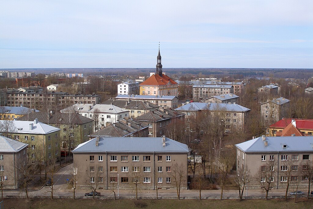
English: Narva town hall in what was before WWII the old town, surrounded by Soviet-era buildings.
Eesti: Narva raekoda, ümbritsetud nõukaaegsete hoonetega. |
| Datums | |
| Avots | Paša darbs |
| Autors | Hannu |
| Camera location | | View this and other nearby images on: OpenStreetMap |
|---|
Licence
| I, the copyright holder of this work, release this work into the public domain. This applies worldwide. In some countries this may not be legally possible; if so: I grant anyone the right to use this work for any purpose, without any conditions, unless such conditions are required by law. |
Faila hronoloģija
Uzklikšķini uz datums/laiks kolonnā esošās saites, lai apskatītos, kā šis fails izskatījās tad.
| Datums/Laiks | Attēls | Izmēri | Dalībnieks | Komentārs | |
|---|---|---|---|---|---|
| tagadējais | 2009. gada 24. aprīlis, plkst. 21.26 | | 3 072 × 2 048 (1,66 MB) | Hannu~commonswiki | {{Information |Description={{en|1=Narva town hall in what was before WWII the old town, surrounded by Soviet-era buildings.}} {{et|1=Narva raekoda, ümbritsetud nõukaaegsete hoonetega.}} |Source=Own work by uploader |Author=[[ |
Faila lietojums
Šo failu izmanto šajās 4 lapās:
Globālais faila lietojums
Šīs Vikipēdijas izmanto šo failu:
- Izmantojums ar.wikipedia.org
- Izmantojums el.wikipedia.org
- Izmantojums en.wikipedia.org
- Izmantojums eo.wikipedia.org
- Izmantojums es.wikipedia.org
- Izmantojums et.wikipedia.org
- Izmantojums fa.wikipedia.org
- Izmantojums fi.wikipedia.org
- Izmantojums hu.wikipedia.org
- Izmantojums it.wikipedia.org
- Izmantojums ja.wikipedia.org
- Izmantojums ltg.wikipedia.org
- Izmantojums mn.wikipedia.org
- Izmantojums mt.wikipedia.org
- Izmantojums no.wikipedia.org
- Izmantojums pl.wikipedia.org
- Izmantojums ro.wikipedia.org
- Izmantojums ru.wikipedia.org
- Izmantojums sco.wikipedia.org
- Izmantojums simple.wikipedia.org
- Izmantojums sl.wikipedia.org
- Izmantojums tt.wikipedia.org
- Izmantojums uk.wikipedia.org
- Izmantojums ur.wikipedia.org
- Izmantojums uz.wikipedia.org
- Izmantojums vi.wikipedia.org