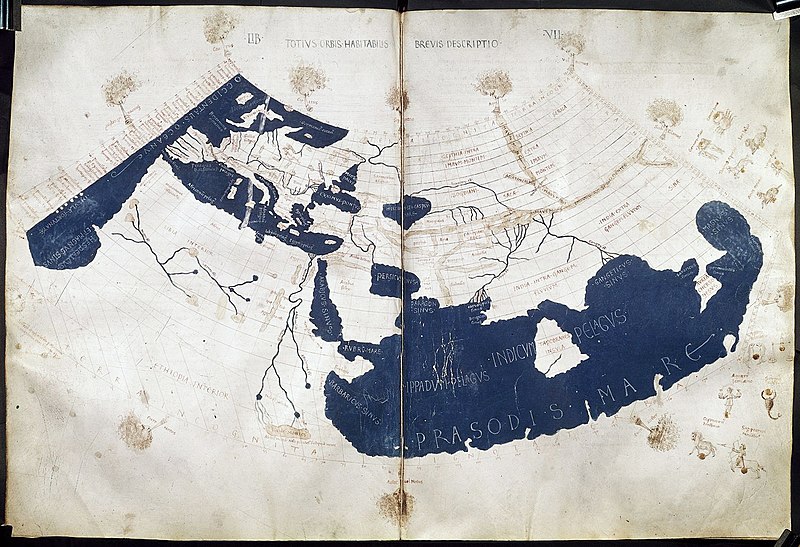
Attēls:PtolemyWorldMap.jpg

Šī priekšskata izmērs: 800 × 547 pikseļi. Citi izmēri: 320 × 219 pikseļi | 640 × 438 pikseļi | 1 024 × 700 pikseļi | 1 280 × 876 pikseļi | 1 500 × 1 026 pikseļi.
Sākotnējais fails (1 500 × 1 026 pikseļi, faila izmērs: 867 KB, MIME tips: image/jpeg)
Faila hronoloģija
Uzklikšķini uz datums/laiks kolonnā esošās saites, lai apskatītos, kā šis fails izskatījās tad.
| Datums/Laiks | Attēls | Izmēri | Dalībnieks | Komentārs | |
|---|---|---|---|---|---|
| tagadējais | 2014. gada 28. jūlijs, plkst. 02.02 |  | 1 500 × 1 026 (867 KB) | Khamar | Larger scan from British Library retreived 2014-7-27 http://www.bl.uk/catalogues/illuminatedmanuscripts/ILLUMIN.ASP?Size=mid&IllID=28894 which has been slightly sharpened. Text clarity is improved in this version and the overall tint is less yellow. |
| 2005. gada 27. novembris, plkst. 15.45 |  | 1 344 × 915 (810 KB) | Alfio | Bigger version | |
| 2005. gada 20. jūnijs, plkst. 14.00 |  | 800 × 545 (107 KB) | Horatius | Ptolemy's 150 CE World Map (redrawn in the 15th century). The British Library Harley MS 7182, ff 58v-59 {{PD-art}} |
Faila lietojums
Šo failu izmanto šajā 1 lapā:
Globālais faila lietojums
Šīs Vikipēdijas izmanto šo failu:
- Izmantojums ang.wikipedia.org
- Izmantojums ar.wikipedia.org
- Izmantojums arz.wikipedia.org
- Izmantojums az.wikipedia.org
- Izmantojums ba.wikipedia.org
- Izmantojums bg.wikipedia.org
- Izmantojums bn.wikipedia.org
- Izmantojums br.wikipedia.org
- Izmantojums bs.wikipedia.org
- Izmantojums ca.wikipedia.org
- Izmantojums ce.wikipedia.org
- Izmantojums cs.wikipedia.org
- Izmantojums cv.wikipedia.org
- Izmantojums da.wikipedia.org
- Izmantojums de.wikipedia.org
- Izmantojums el.wikipedia.org
- Izmantojums en.wikipedia.org
Skatīt šī faila pilno globālo izmantojumu.
