
Attēls:Acheloos river narrows 02.jpg
Šī priekšskata izmērs: 800 × 600 pikseļi. Citi izmēri: 320 × 240 pikseļi | 640 × 480 pikseļi | 1 024 × 768 pikseļi | 1 280 × 960 pikseļi | 2 048 × 1 536 pikseļi.
Sākotnējais fails (2 048 × 1 536 pikseļi, faila izmērs: 800 KB, MIME tips: image/jpeg)
| Šis fails ir no Vikikrātuves. Tā apraksts no attēla lapas Vikikrātuvē ir parādīts zemāk. Vikikrātuve ir brīvi licencēta failu krātuve. Tu vari tai palīdzēt. |
| Apraksts |
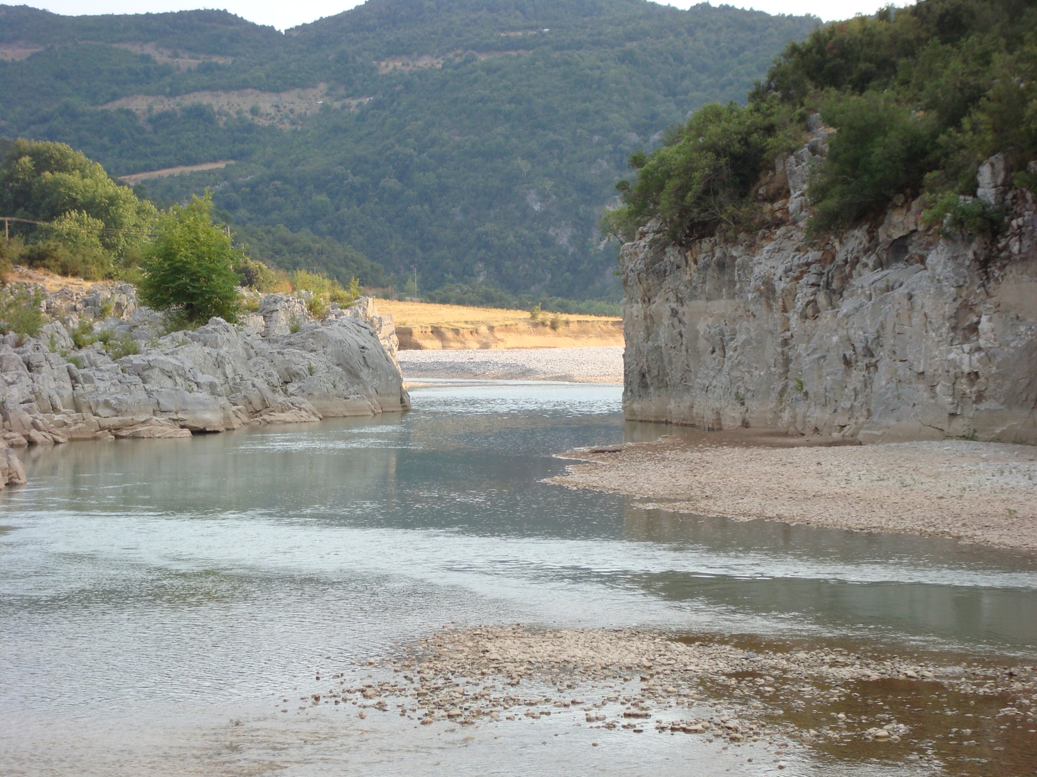
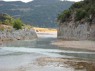
English: View of Acheloos river, in Evritania, Greece. Ελληνικά: Ο ποταμός Αχελώος στον νομό Ευρυτανίας. |
|||
| Datums | Taken on 2007. gada 17. augusts | |||
| Avots | Self-photographed | |||
| Autors | Georgios Pazios (User:Alaniaris) | |||
| Atļauja: (Šī faila izmantošana citur) |
|

| Camera location | | View this and other nearby images on: OpenStreetMap |
|---|
Faila hronoloģija
Uzklikšķini uz datums/laiks kolonnā esošās saites, lai apskatītos, kā šis fails izskatījās tad.
| Datums/Laiks | Attēls | Izmēri | Dalībnieks | Komentārs | |
|---|---|---|---|---|---|
| tagadējais | 2007. gada 10. oktobris, plkst. 19.14 | | 2 048 × 1 536 (800 KB) | Alaniaris | {{Information |Description=View of Acheloos river, in Evritania, Greece. - Ο ποταμός Αχελώος στον νομό Ευρυτανίας. |Source=own photography |Date=taken: 17 Aug 2007 |Author=User:Alaniaris |Permission={{Attribution}} |
Faila lietojums
Šo failu izmanto šajā 1 lapā:
Globālais faila lietojums
Šīs Vikipēdijas izmanto šo failu:
- Izmantojums ar.wikipedia.org
- Izmantojums bg.wikipedia.org
- Izmantojums bn.wikipedia.org
- Izmantojums cs.wikipedia.org
- Izmantojums da.wikipedia.org
- Izmantojums el.wikipedia.org
- Izmantojums en.wikipedia.org
- Izmantojums en.wiktionary.org
- Izmantojums hyw.wikipedia.org
- Izmantojums id.wikipedia.org
- Izmantojums it.wikipedia.org
- Izmantojums ja.wikipedia.org
- Izmantojums ka.wikipedia.org
- Izmantojums la.wikipedia.org
- Izmantojums no.wikipedia.org
- Izmantojums pa.wikipedia.org
- Izmantojums ro.wikipedia.org
- Izmantojums sh.wikipedia.org
- Izmantojums sr.wikipedia.org
- Izmantojums xmf.wikipedia.org
- Izmantojums zh.wikipedia.org