
Attēls:Buildings in Downtown Regina as seen from Victoria Park.jpg

Šī priekšskata izmērs: 800 × 600 pikseļi. Citi izmēri: 320 × 240 pikseļi | 640 × 480 pikseļi | 1 024 × 768 pikseļi | 1 280 × 960 pikseļi | 2 048 × 1 536 pikseļi.
Sākotnējais fails (2 048 × 1 536 pikseļi, faila izmērs: 1,14 MB, MIME tips: image/jpeg)
| Šis fails ir no Vikikrātuves. Tā apraksts no attēla lapas Vikikrātuvē ir parādīts zemāk. Vikikrātuve ir brīvi licencēta failu krātuve. Tu vari tai palīdzēt. |
Kopsavilkums
| Apraksts |
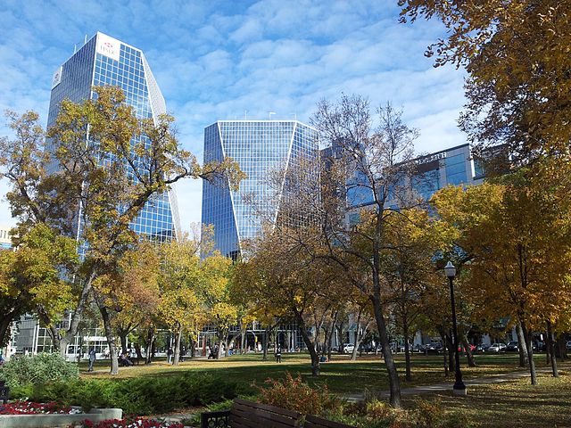
English: Buildings in Downtown Regina as seen from Victoria Park in fall 2012 |
| Datums | |
| Avots | Paša darbs |
| Autors | Ccyyrree |
| Camera location | | View this and other nearby images on: OpenStreetMap |
|---|
Licence
Es, šī darba autortiesību īpašnieks, publicēju to saskaņā ar šo licenci:
| This file is made available under the Creative Commons CC0 1.0 Universal Public Domain Dedication. | |
| The person who associated a work with this deed has dedicated the work to the public domain by waiving all of their rights to the work worldwide under copyright law, including all related and neighboring rights, to the extent allowed by law. You can copy, modify, distribute and perform the work, even for commercial purposes, all without asking permission.
|
Faila hronoloģija
Uzklikšķini uz datums/laiks kolonnā esošās saites, lai apskatītos, kā šis fails izskatījās tad.
| Datums/Laiks | Attēls | Izmēri | Dalībnieks | Komentārs | |
|---|---|---|---|---|---|
| tagadējais | 2012. gada 4. oktobris, plkst. 20.20 | | 2 048 × 1 536 (1,14 MB) | ElatedCoder | User created page with UploadWizard |
Faila lietojums
Šo failu izmanto šajā 1 lapā:
Globālais faila lietojums
Šīs Vikipēdijas izmanto šo failu:
- Izmantojums azb.wikipedia.org
- Izmantojums be-tarask.wikipedia.org
- Izmantojums bg.wikipedia.org
- Izmantojums en.wikipedia.org
- Regina, Saskatchewan
- Talk:Regina, Saskatchewan
- Neighbourhoods in Regina, Saskatchewan
- User:Masalai/sandbox
- List of cities in Saskatchewan
- List of municipalities in Saskatchewan
- Wikipedia:Wikipedia Signpost/2014-02-19/Featured content
- Wikipedia:Wikipedia Signpost/Single/2014-02-19
- User talk:SriMesh/Archive 9
- Izmantojums en.wikivoyage.org
- Izmantojums fo.wikipedia.org
- Izmantojums hy.wikipedia.org
- Izmantojums id.wikipedia.org
- Izmantojums is.wikipedia.org
- Izmantojums mr.wikipedia.org
- Izmantojums no.wikipedia.org
- Izmantojums oc.wikipedia.org
- Izmantojums pa.wikipedia.org
- Izmantojums pl.wikivoyage.org
- Izmantojums pnb.wikipedia.org
- Izmantojums so.wikipedia.org
- Izmantojums sr.wikipedia.org
- Izmantojums szl.wikipedia.org
- Izmantojums uk.wikipedia.org
- Izmantojums ur.wikipedia.org
- Izmantojums uz.wikipedia.org
- Izmantojums vi.wikipedia.org
- Izmantojums zh-yue.wikipedia.org
- Izmantojums zh.wikipedia.org