
Attēls:Oost-antarctica.png

Šī priekšskata izmērs: 800 × 564 pikseļi. Citi izmēri: 320 × 226 pikseļi | 640 × 451 pikseļi | 1 024 × 722 pikseļi | 1 280 × 902 pikseļi.
Sākotnējais fails (1 280 × 902 pikseļi, faila izmērs: 542 KB, MIME tips: image/png)
| Šis fails ir no Vikikrātuves. Tā apraksts no attēla lapas Vikikrātuvē ir parādīts zemāk. Vikikrātuve ir brīvi licencēta failu krātuve. Tu vari tai palīdzēt. |
Kopsavilkums
| Apraksts |
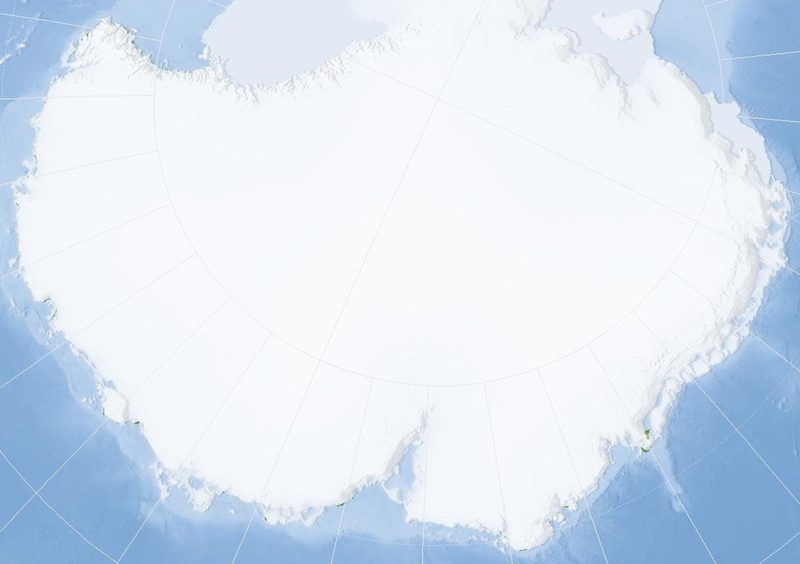
English: Almost blank map of East Antarctica
Nederlands: Vrijwel lege kaart van Oost-Antarctica |
| Datums | (UTC) |
| Avots | Map derived from Marble (v 0.5.1); an application that is released under the LGPL. |
| Autors | Jeroen |
| Camera location | | View this and other nearby images on: OpenStreetMap |
|---|
Licence

|
This library is free software; you can redistribute it and/or modify it under the terms of the GNU Lesser General Public License as published by the Free Software Foundation; either version 2.1 of the License, or (at your option) any later version. This library is distributed in the hope that it will be useful, but without any warranty; without even the implied warranty of merchantability or fitness for a particular purpose. See version 2.1 and version 3 of the GNU Lesser General Public License for more details. |
Faila hronoloģija
Uzklikšķini uz datums/laiks kolonnā esošās saites, lai apskatītos, kā šis fails izskatījās tad.
| Datums/Laiks | Attēls | Izmēri | Dalībnieks | Komentārs | |
|---|---|---|---|---|---|
| tagadējais | 2008. gada 30. maijs, plkst. 02.45 | | 1 280 × 902 (542 KB) | Jeroen | {{Information |Description={{en|1=Almost blank map of East Antarctica}} {{nl|1=Vrijwel lege kaart van Oost-Antarctica}} |Source=Map derived from Marble (v 0.5.1); an application that is |
Faila lietojums
Šo failu izmanto šajā 1 lapā:
Globālais faila lietojums
Šīs Vikipēdijas izmanto šo failu:
- Izmantojums ar.wikipedia.org
- Izmantojums ast.wikipedia.org
- Izmantojums be.wikipedia.org
- Izmantojums ca.wikipedia.org
- Izmantojums es.wikipedia.org
- Izmantojums fr.wikipedia.org
- Izmantojums ja.wikipedia.org
- Izmantojums ko.wikipedia.org
- Izmantojums nl.wikipedia.org
- Izmantojums sv.wikipedia.org
- Izmantojums wuu.wikipedia.org
- Izmantojums zh.wikipedia.org