
Attēls:Flickr - Nicholas T - Cranberry Swamp Natural Area.jpg

Šī priekšskata izmērs: 800 × 600 pikseļi. Citi izmēri: 320 × 240 pikseļi | 640 × 480 pikseļi | 1 024 × 768 pikseļi | 1 280 × 960 pikseļi | 2 560 × 1 920 pikseļi | 4 320 × 3 240 pikseļi.
Sākotnējais fails (4 320 × 3 240 pikseļi, faila izmērs: 8,79 MB, MIME tips: image/jpeg)
| Šis fails ir no Vikikrātuves. Tā apraksts no attēla lapas Vikikrātuvē ir parādīts zemāk. Vikikrātuve ir brīvi licencēta failu krātuve. Tu vari tai palīdzēt. |
Kopsavilkums
| Apraksts |
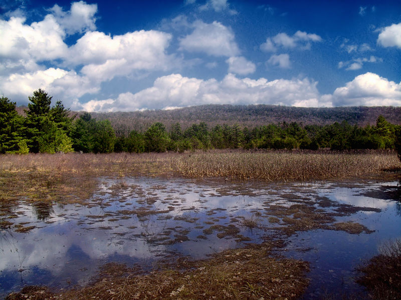
Sproul State Forest, Clinton County. A pristine high-elevation wetland, fed by Cranberry Run, in an especially remote area of the state forest. The Chuck Keiper Trail skirts a portion of the wetland. |
| Datums | |
| Avots | Cranberry Swamp Natural Area |
| Autors | Nicholas A. Tonelli from Pennsylvania, USA |
| Camera location | | View this and other nearby images on: OpenStreetMap |
|---|
Licence
Šis fails tiek izplatīts saskaņā ar licences Creative Commons Atsauce 2.0 Vispārējiem noteikumiem.
- Jūs varat brīvi:
- koplietot – kopēt, izplatīt un pārraidīt darbu
- remiksēt – pielāgot darbu
- Saskaņā ar šādiem nosacījumiem:
- atsaucoties – Tev ir jānorāda autors, saite uz licenci un to, vai veiktas kādas izmaiņas. To var darīt jebkādā saprātīgā veidā, bet ne tādā, kas norādītu, ka licencētājs atbalsta tevi vai veidu, kā tu izmanto šo darbu.
| This image was originally posted to Flickr by Nicholas_T at https://www.flickr.com/photos/14922165@N00/5629466585. It was reviewed on 2012. gada 10. septembris by FlickreviewR and was confirmed to be licensed under the terms of the cc-by-2.0. |
Faila hronoloģija
Uzklikšķini uz datums/laiks kolonnā esošās saites, lai apskatītos, kā šis fails izskatījās tad.
| Datums/Laiks | Attēls | Izmēri | Dalībnieks | Komentārs | |
|---|---|---|---|---|---|
| tagadējais | 2012. gada 10. septembris, plkst. 03.41 | | 4 320 × 3 240 (8,79 MB) | Matanya | == {{int:filedesc}} == {{Information |Description=Sproul State Forest, Clinton County. A pristine high-elevation wetland, fed by Cranberry Run, in an especially remote area of the state forest. The Chuck Keiper Trail skirts a portion of the wetland. |... |
Faila lietojums
Šo failu izmanto šajā 1 lapā: