
Attēls:Sint Maarten location map.svg

Size of this PNG preview of this SVG file: 800 × 578 pikseļi. Citi izmēri: 320 × 231 pikseļi | 640 × 462 pikseļi | 1 024 × 740 pikseļi | 1 280 × 925 pikseļi | 2 560 × 1 850 pikseļi | 1 175 × 849 pikseļi.
Sākotnējais fails (SVG fails, definētais izmērs 1 175 × 849 pikseļi, faila izmērs: 145 KB)
| Šis fails ir no Vikikrātuves. Tā apraksts no attēla lapas Vikikrātuvē ir parādīts zemāk. Vikikrātuve ir brīvi licencēta failu krātuve. Tu vari tai palīdzēt. |
Kopsavilkums
| Camera location | | View this and other nearby images on: OpenStreetMap |
|---|
| Apraksts |
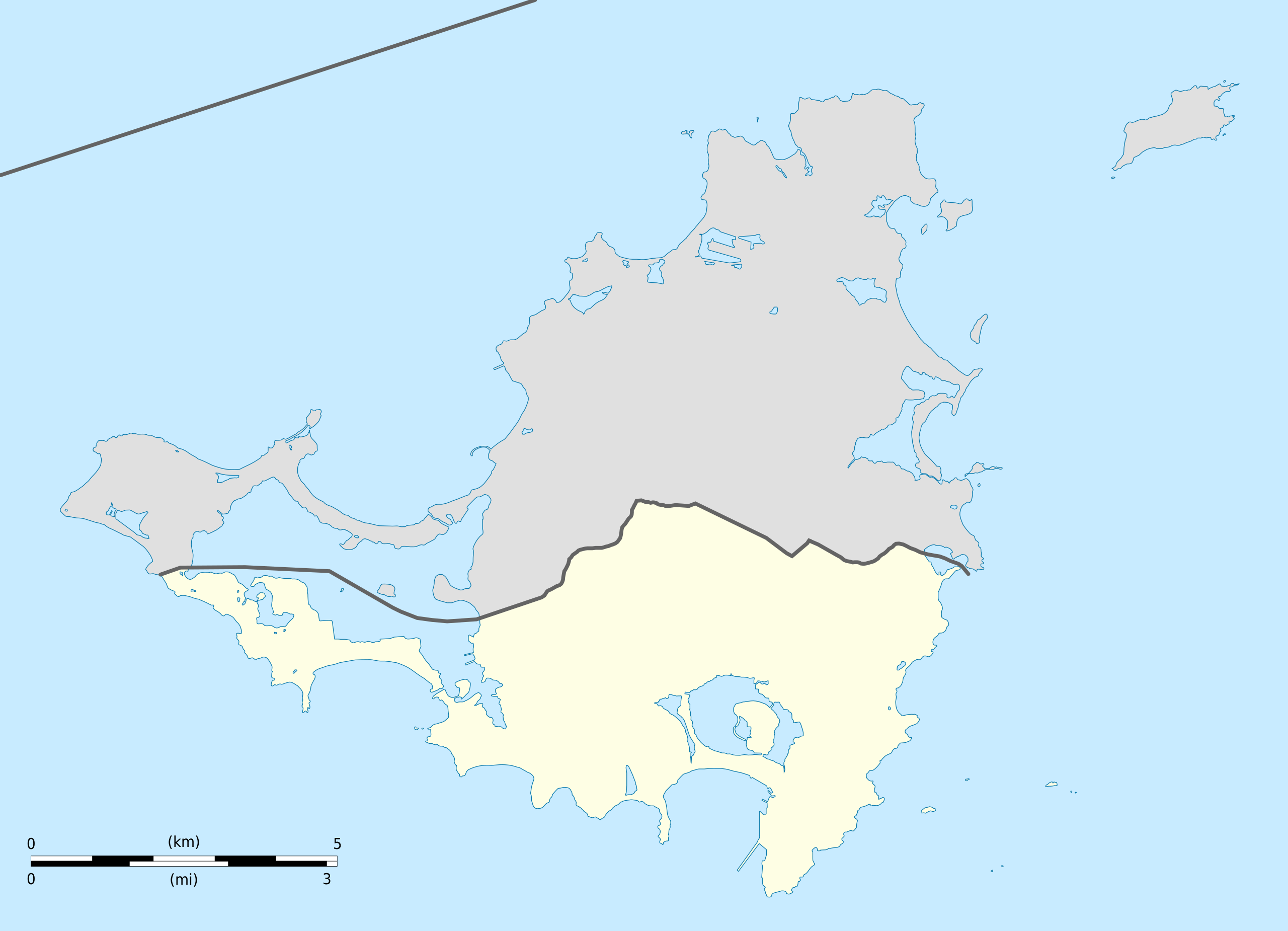
English: Blank administrative map of Sint Maarten, constituent country of the Kingdom of the Netherlands, for geo-location purpose.
Français : Carte administrative vierge de Sint Maarten, État du Royaume des Pays-Bas, destinée à la géolocalisation. Estimated scale: 1:200,000 (precision: 50 m)
Geographic limits of the map:
|
||
| Datums | |||
| Avots |
Paša darbs
|
||
| Autors | Eric Gaba (Sting - fr:Sting) | ||
| Atļauja: (Šī faila izmantošana citur) |
|
||
| Citas versijas |
|
||
| SVG veidošana |


Licence
Eric Gaba, Wikimedia Commons user Sting, šī darba autortiesību īpašnieks, publicē to saskaņā ar šīm licencēm:
Šis fails tiek izplatīts saskaņā ar licences Creative Commons Atsauce-Līdzīgi Noteikumi 3.0 Vispārējiem noteikumiem.
Atsauce: Eric Gaba, Wikimedia Commons user Sting
- Jūs varat brīvi:
- koplietot – kopēt, izplatīt un pārraidīt darbu
- remiksēt – pielāgot darbu
- Saskaņā ar šādiem nosacījumiem:
- atsaucoties – Tev ir jānorāda autors, saite uz licenci un to, vai veiktas kādas izmaiņas. To var darīt jebkādā saprātīgā veidā, bet ne tādā, kas norādītu, ka licencētājs atbalsta tevi vai veidu, kā tu izmanto šo darbu.
- nemainot licenci – Ja tu miksē, pārveido vai izmanto materiālu, tev savs devums jāpublicē ar to pašu vai saderīgu licenci kā oriģināls.

|
Ir dota atļauja kopēt, izplatīt un/vai pārveidot šo dokumentu saskaņā ar GNU brīvās dokumentācijas licences, versijas 1.2 vai jebkuras vēlākas versijas, ko publiskojis Brīvās programmatūras fonds nosacījumiem; bez nemainīgajām sadaļā, priekšējā un aizmugurēja'vāka tekstiem. Licences kopija ir iekļauta sadaļā ar nosaukumu GNU brīvās dokumentācijas licence. |
Jūs varat izvēlēties licenci pēc jūsu vēlmes.
Faila hronoloģija
Uzklikšķini uz datums/laiks kolonnā esošās saites, lai apskatītos, kā šis fails izskatījās tad.
| Datums/Laiks | Attēls | Izmēri | Dalībnieks | Komentārs | |
|---|---|---|---|---|---|
| tagadējais | 2010. gada 25. oktobris, plkst. 19.41 | | 1 175 × 849 (145 KB) | Sting | == {{int:filedesc}} == {{Location|18|04|07|N|63|03|45|W|scale:100000}} <br/> {{Information |Description={{en|Blank administrative map of Sint Maarten, constituent country of the [[:en:Kingdom of the Netherl |
Faila lietojums
Šo failu izmanto šajās 3 lapās:
Globālais faila lietojums
Šīs Vikipēdijas izmanto šo failu:
- Izmantojums af.wikipedia.org
- Izmantojums an.wikipedia.org
- Izmantojums ar.wikipedia.org
- Izmantojums ast.wikipedia.org
- Izmantojums ba.wikipedia.org
- Izmantojums bg.wikipedia.org
- Izmantojums bn.wikipedia.org
- Izmantojums ceb.wikipedia.org
- Plantilya:Location map Sint Maarten
- Great Bay
- Guano Cay
- Guana Cay
- Great Salt Pond
- Beacon Hill
- Fort Hill
- Cul de Sac
- Mona Island
- Grande Bay
- Simpson Bay
- Cow and Calf
- Williams Hill
- Trial Hill
- Grande Baie
- Hen and Chicks
- Pond Island
- Ravine Rouge
- Simson Baai Lagoen
- Simson
- Pelikan
- Philipsburg
- Little Key
- Point Blanche
- Williams Hill (bungtod sa Sint Maarten)
- Trial Hill (bungtod sa Sint Maarten)
- The Devils Cupper
- Simson Bay Village
- Simpson Bay (luuk sa Sint Maarten)
- Sentry Hill (bukid sa Sint Maarten)
- Sint Peter Hill
- Saint Barthélemy Channel
- Kanaal van Rolandus
- Princess Juliana International Airport
- Philipsburg (ulohang dakbayan)
- Pelikaan Punt
- Naked Boy
- Mona Island (pulo sa Sint Maarten)
- Molly Beday
- Lower Prince's Quarter
Skatīt šī faila pilno globālo izmantojumu.