
Attēls:Dardanelles map.png
Šī priekšskata izmērs: 624 × 600 pikseļi. Citi izmēri: 250 × 240 pikseļi | 500 × 480 pikseļi | 1 020 × 980 pikseļi.
Sākotnējais fails (1 020 × 980 pikseļi, faila izmērs: 219 KB, MIME tips: image/png)
| Šis fails ir no Vikikrātuves. Tā apraksts no attēla lapas Vikikrātuvē ir parādīts zemāk. Vikikrātuve ir brīvi licencēta failu krātuve. Tu vari tai palīdzēt. |
Kopsavilkums
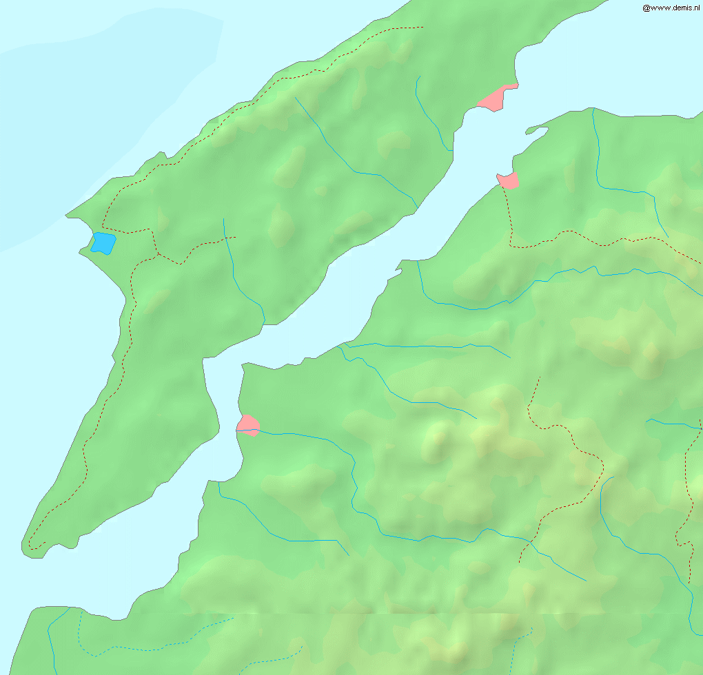
Map of the w:en:Dardanelles strait.
Bounding box West 26.15°, South 39.95°, East 26.9°, North 40.5°.
This image is in the public domain because it came from the site https://www.demis.nl/products/web-map-server/examples/ and was released by the copyright holder. Permission is granted to copy, distribute and/or modify this map since it is based on free of copyright images from: www.demis.nl. See also approval email on de.wp and its clarification.
|
| This work has been released into the public domain by its copyright holder, www.demis.nl. This applies worldwide. In some countries this may not be legally possible; if so: www.demis.nl grants anyone the right to use this work for any purpose, without any conditions, unless such conditions are required by law.
|
Licence
| I, the copyright holder of this work, release this work into the public domain. This applies worldwide. In some countries this may not be legally possible; if so: I grant anyone the right to use this work for any purpose, without any conditions, unless such conditions are required by law. |
Faila hronoloģija
Uzklikšķini uz datums/laiks kolonnā esošās saites, lai apskatītos, kā šis fails izskatījās tad.
| Datums/Laiks | Attēls | Izmēri | Dalībnieks | Komentārs | |
|---|---|---|---|---|---|
| tagadējais | 2005. gada 6. septembris, plkst. 20.53 | | 1 020 × 980 (219 KB) | Mats Halldin~commonswiki | Map of the w:en:Dardanelles strait. Bounding box West 26.15°, South 39.95°, East 26.9°, North 40.5°. {{demis-pd}} category:maps of Turkey |
Faila lietojums
Šo failu neizmanto nevienā lapā.
Globālais faila lietojums
Šīs Vikipēdijas izmanto šo failu:
- Izmantojums eo.wikipedia.org
- Izmantojums fr.wikipedia.org
- Izmantojums sv.wikipedia.org