
Attēls:Dover UK locator map.svg

Size of this PNG preview of this SVG file: 800 × 561 pikseļi. Citi izmēri: 320 × 225 pikseļi | 640 × 449 pikseļi | 1 024 × 719 pikseļi | 1 280 × 898 pikseļi | 2 560 × 1 796 pikseļi | 1 425 × 1 000 pikseļi.
Sākotnējais fails (SVG fails, definētais izmērs 1 425 × 1 000 pikseļi, faila izmērs: 1,18 MB)
| Šis fails ir no Vikikrātuves. Tā apraksts no attēla lapas Vikikrātuvē ir parādīts zemāk. Vikikrātuve ir brīvi licencēta failu krātuve. Tu vari tai palīdzēt. |
| Apraksts | Equirectangular map projection on WGS 84 datum, with N/S stretched 160% |
| Datums | |
| Avots |
|
| Autors | Nilfanion, created using Ordnance Survey data |
| Atļauja: (Šī faila izmantošana citur) |
Šis fails tiek izplatīts saskaņā ar licences Creative Commons Atsauce-Līdzīgi Noteikumi 3.0 Vispārējiem noteikumiem. Atsauce: Contains Ordnance Survey data © Crown copyright and database right
|
Faila hronoloģija
Uzklikšķini uz datums/laiks kolonnā esošās saites, lai apskatītos, kā šis fails izskatījās tad.
| Datums/Laiks | Attēls | Izmēri | Dalībnieks | Komentārs | |
|---|---|---|---|---|---|
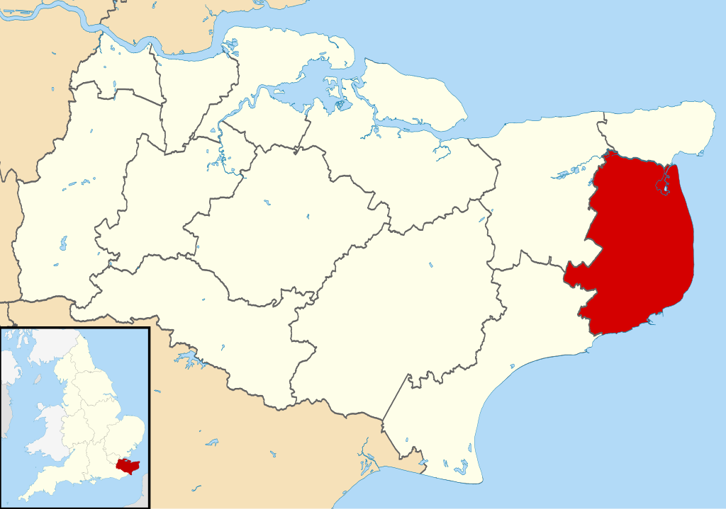
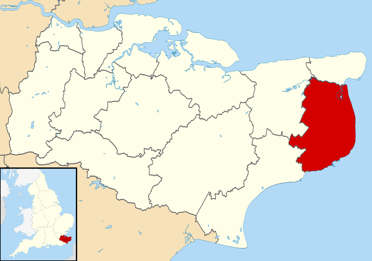
| tagadējais | 2011. gada 2. augusts, plkst. 12.07 | | 1 425 × 1 000 (1,18 MB) | Nilfanion | {{Information |Description=Map of Kent, UK with Dover highlighted. Equirectangular map projection on WGS 84 datum, with N/S stretched 160% |Source=Ordnance Survey [https://www.ordnancesurvey.co.uk/o |
Faila lietojums
Šo failu izmanto šajā 1 lapā:
Globālais faila lietojums
Šīs Vikipēdijas izmanto šo failu:
- Izmantojums cy.wikipedia.org
- Izmantojums en.wikipedia.org
- Dover
- Sandwich, Kent
- Walmer
- Eythorne
- Dover District
- East Langdon
- Deal, Kent
- Eastry
- Drellingore
- Kingsdown, Dover
- Maxton, Kent
- Martin, Kent
- Martin Mill
- Coombe, Kent
- Ash, Dover District
- West Langdon
- Wingham, Kent
- Barfrestone
- Kearsney, Kent
- Elvington, Kent
- Capel-le-Ferne
- Richborough
- Lydden
- Whitfield, Kent
- Alkham
- Ripple, Kent
- Aylesham
- Nonington
- Marley, Dover
- Temple Ewell
- Preston-next-Wingham
- River, Kent
- Shepherdswell
- Plucks Gutter
- Template:Towns and villages in Dover district
- St Margaret's at Cliffe
- Sholden
- Tilmanstone
- Buckland, Kent
- Staple, Kent
- Great Mongeham
- User:O1ive/Dover
- Goodnestone, Dover
- Woodnesborough
- Guston, Kent
- Stourmouth
- Ashley, Kent
- Coldred
- Denton, Kent
Skatīt šī faila pilno globālo izmantojumu.