
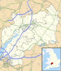
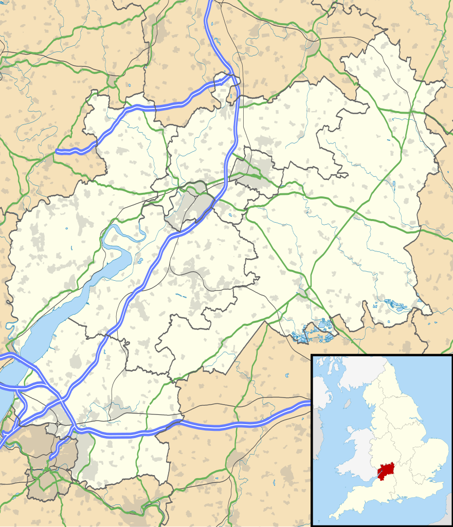
Attēls:Gloucestershire UK location map.svg

Size of this PNG preview of this SVG file: 516 × 600 pikseļi. Citi izmēri: 206 × 240 pikseļi | 413 × 480 pikseļi | 661 × 768 pikseļi | 881 × 1 024 pikseļi | 1 762 × 2 048 pikseļi | 1 089 × 1 266 pikseļi.
Sākotnējais fails (SVG fails, definētais izmērs 1 089 × 1 266 pikseļi, faila izmērs: 2,27 MB)
| Šis fails ir no Vikikrātuves. Tā apraksts no attēla lapas Vikikrātuvē ir parādīts zemāk. Vikikrātuve ir brīvi licencēta failu krātuve. Tu vari tai palīdzēt. |
| Apraksts |
Map of Gloucestershire, UK with the following information shown:
Equirectangular map projection on WGS 84 datum, with N/S stretched 160% Geographic limits:
|
| Datums | |
| Avots |
|
| Autors | Nilfanion, created using Ordnance Survey data |
| Atļauja: (Šī faila izmantošana citur) |
Šis fails tiek izplatīts saskaņā ar licences Creative Commons Atsauce-Līdzīgi Noteikumi 3.0 Vispārējiem noteikumiem. Atsauce: Contains Ordnance Survey data © Crown copyright and database right
|
| Citas versijas | File:Gloucestershire UK district map (blank).svg - Blank map |
.svg)
Faila hronoloģija
Uzklikšķini uz datums/laiks kolonnā esošās saites, lai apskatītos, kā šis fails izskatījās tad.
| Datums/Laiks | Attēls | Izmēri | Dalībnieks | Komentārs | |
|---|---|---|---|---|---|
| tagadējais | 2010. gada 26. septembris, plkst. 21.53 | | 1 089 × 1 266 (2,27 MB) | Nilfanion | {{Information |Description=Map of Gloucestershire, UK with the following information shown: *Administrative borders *Coastline, lakes and rivers *Roads and railways *Urban areas Equirectangular map projection on WGS 84 datum, with N |
Faila lietojums
Šo failu izmanto šajās 9 lapās:
Globālais faila lietojums
Šīs Vikipēdijas izmanto šo failu:
- Izmantojums ar.wikipedia.org
- Izmantojums bg.wikipedia.org
- Izmantojums bn.wikipedia.org
- Izmantojums ceb.wikipedia.org
- Izmantojums en.wikipedia.org
- Stow-on-the-Wold
- Deerhurst
- Thornbury, Gloucestershire
- WWT Slimbridge
- Dymock
- Bradley Stoke
- Dursley
- Cirencester
- Chedworth
- Kempley
- Yate
- Tewkesbury
- Stroud
- Moreton-in-Marsh
- Chipping Campden
- Lechlade
- Painswick
- Winchcombe
- Winterbourne, Gloucestershire
- Cinderford
- Lydney
- Berkeley, Gloucestershire
- Berkeley Castle
- Kingswood, South Gloucestershire
- RAF Fairford
- Newent
- Nailsworth
- Wotton-under-Edge
- North Nibley
- Charfield
Skatīt šī faila pilno globālo izmantojumu.