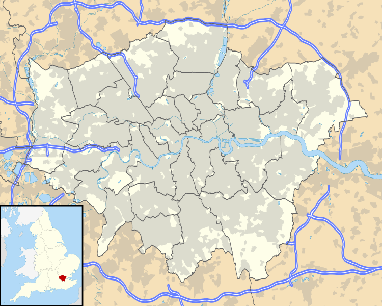
Attēls:Greater London UK location map.svg
Izskats

Size of this PNG preview of this SVG file: 750 × 600 pikseļi. Citi izmēri: 300 × 240 pikseļi | 600 × 480 pikseļi | 960 × 768 pikseļi | 1 280 × 1 024 pikseļi | 2 560 × 2 048 pikseļi | 1 425 × 1 140 pikseļi.
Sākotnējais fails (SVG fails, definētais izmērs 1 425 × 1 140 pikseļi, faila izmērs: 1,73 MB)
Faila hronoloģija
Uzklikšķini uz datums/laiks kolonnā esošās saites, lai apskatītos, kā šis fails izskatījās tad.
| Datums/Laiks | Attēls | Izmēri | Dalībnieks | Komentārs | |
|---|---|---|---|---|---|
| tagadējais | 2010. gada 26. septembris, plkst. 20.53 |  | 1 425 × 1 140 (1,73 MB) | Nilfanion | {{Information |Description=Map of Greater London, UK with the following information shown: *Administrative borders *Coastline, lakes and rivers *Roads and railways *Urban areas Equirectangular map projection on WGS 84 datum, with N/S |
Faila lietojums
Šo failu neizmanto nevienā lapā.
Globālais faila lietojums
Šīs Vikipēdijas izmanto šo failu:
- Izmantojums als.wikipedia.org
- Izmantojums az.wikipedia.org
- Izmantojums ba.wikipedia.org
- Izmantojums be.wikipedia.org
- Izmantojums de.wikipedia.org
- Flughafen London Heathrow
- Tower Bridge
- Benutzer Diskussion:RokerHRO
- Sidcup
- Wembley-Stadion (2007)
- Wembley
- Chiswick
- Soho (London)
- 30 St Mary Axe
- Stamford Bridge (Stadion)
- One Canada Square
- London City Airport
- Covent Garden
- Goldsmiths, University of London
- Battersea Power Station
- Notting Hill
- Bayswater
- White Hart Lane
- The Shard
- Kensington (London)
- Brentford
- Norbury
- Purley
- East Ham
- West End (London)
- Charlton
- Plumstead
- Woolwich
- RAF Northolt
Skatīt šī faila pilno globālo izmantojumu.
