
Attēls:Guildford UK locator map.svg

Size of this PNG preview of this SVG file: 790 × 599 pikseļi. Citi izmēri: 317 × 240 pikseļi | 633 × 480 pikseļi | 1 013 × 768 pikseļi | 1 280 × 971 pikseļi | 2 560 × 1 942 pikseļi | 1 425 × 1 081 pikseļi.
Sākotnējais fails (SVG fails, definētais izmērs 1 425 × 1 081 pikseļi, faila izmērs: 948 KB)
| Šis fails ir no Vikikrātuves. Tā apraksts no attēla lapas Vikikrātuvē ir parādīts zemāk. Vikikrātuve ir brīvi licencēta failu krātuve. Tu vari tai palīdzēt. |
| Apraksts | Equirectangular map projection on WGS 84 datum, with N/S stretched 160% |
| Datums | |
| Avots |
|
| Autors | Nilfanion, created using Ordnance Survey data |
| Atļauja: (Šī faila izmantošana citur) |
Šis fails tiek izplatīts saskaņā ar licences Creative Commons Atsauce-Līdzīgi Noteikumi 3.0 Vispārējiem noteikumiem. Atsauce: Contains Ordnance Survey data © Crown copyright and database right
|
Faila hronoloģija
Uzklikšķini uz datums/laiks kolonnā esošās saites, lai apskatītos, kā šis fails izskatījās tad.
| Datums/Laiks | Attēls | Izmēri | Dalībnieks | Komentārs | |
|---|---|---|---|---|---|
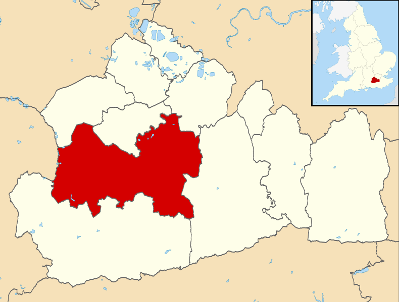
| tagadējais | 2011. gada 2. augusts, plkst. 12.25 | | 1 425 × 1 081 (948 KB) | Nilfanion | {{Information |Description=Map of Surrey, UK with Guildford highlighted. Equirectangular map projection on WGS 84 datum, with N/S stretched 160% |Source=Ordnance Survey [https://www.ordnancesur |
Faila lietojums
Šo failu izmanto šajā 1 lapā:
Globālais faila lietojums
Šīs Vikipēdijas izmanto šo failu:
- Izmantojums cy.wikipedia.org
- Izmantojums en.wikipedia.org
- Guildford
- Effingham, Surrey
- University of Surrey
- Wisley
- East Horsley
- Ockham, Surrey
- Hog's Back
- Borough of Guildford
- Pirbright
- Guildford Flames
- Send, Surrey
- Shalford, Surrey
- GuilFest
- Guildford Cathedral
- Shackleford
- Merrow, Surrey
- Hogs Back Brewery
- Clandon Park House
- Pirbright Institute
- Farley Green, Surrey
- Royal Grammar School, Guildford
- Ripley, Surrey
- Guildford Spectrum
- West Clandon
- Guildford railway station
- RHS Garden Wisley
- Compton, Guildford
- Worplesdon railway station
- Stoke Park, Guildford
- Hatchlands Park
- East Clandon
- Burpham, Surrey
- George Abbot School
- Ash Vale railway station
- Academy of Contemporary Music
- Shere
- Albury, Surrey
- Surrey Scorchers
- Artington
- Ash, Surrey
- King's College, Guildford
- London Road (Guildford) railway station
- Chilworth, Surrey
- St Martha's Hill
- Holmbury St Mary
- Winterfold Forest
- Clandon railway station
- Horsley railway station
- Guildford City F.C.
Skatīt šī faila pilno globālo izmantojumu.