
Attēls:Location Transnistria Europe.png

Šī priekšskata izmērs: 687 × 600 pikseļi. Citi izmēri: 275 × 240 pikseļi | 550 × 480 pikseļi | 880 × 768 pikseļi | 1 173 × 1 024 pikseļi | 2 052 × 1 792 pikseļi.
Sākotnējais fails (2 052 × 1 792 pikseļi, faila izmērs: 419 KB, MIME tips: image/png)
| Šis fails ir no Vikikrātuves. Tā apraksts no attēla lapas Vikikrātuvē ir parādīts zemāk. Vikikrātuve ir brīvi licencēta failu krātuve. Tu vari tai palīdzēt. |
Kopsavilkums
| Apraksts |
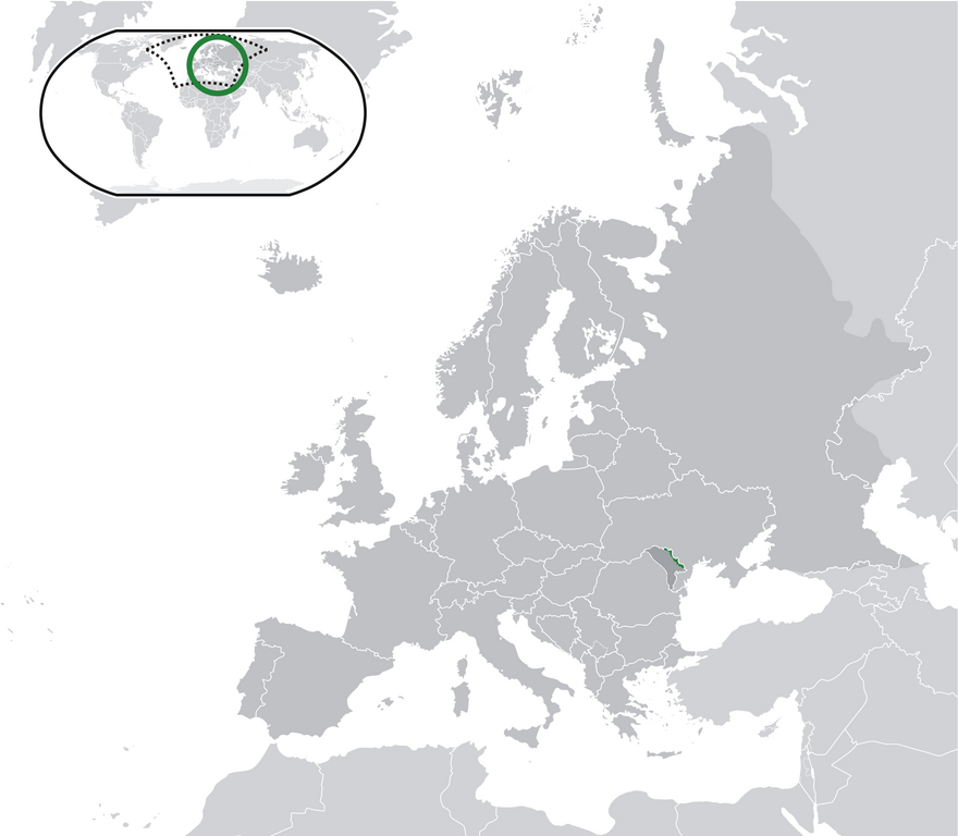
English: Location Moldova Europe.png
English: Transnistria (green) / Moldova (dark grey) / Europe and other regions (light grey); inspired by and consistent with general country locator maps by User:Vardion, et al |
| Datums | |
| Avots | Paša darbs |
| Autors | CatJar |
Licence
| I, the copyright holder of this work, release this work into the public domain. This applies worldwide. In some countries this may not be legally possible; if so: I grant anyone the right to use this work for any purpose, without any conditions, unless such conditions are required by law. |
Faila hronoloģija
Uzklikšķini uz datums/laiks kolonnā esošās saites, lai apskatītos, kā šis fails izskatījās tad.
| Datums/Laiks | Attēls | Izmēri | Dalībnieks | Komentārs | |
|---|---|---|---|---|---|
| tagadējais | 2020. gada 12. jūlijs, plkst. 02.57 | | 2 052 × 1 792 (419 KB) | De728631 | added South Sudan to World map |
| 2009. gada 25. decembris, plkst. 01.29 |  | 2 052 × 1 792 (353 KB) | CatJar | {{Information |Description={{en|1= Location Moldova Europe.png '''English:''' Transnistria (green) / Moldova (dark grey) / Europe and other regions (light grey); inspired by and consistent with general country locator maps by User:Vardion, et al}} |Source |
Faila lietojums
Šo failu izmanto šajā 1 lapā:
Globālais faila lietojums
Šīs Vikipēdijas izmanto šo failu:
- Izmantojums af.wikipedia.org
- Izmantojums ar.wikipedia.org
- Izmantojums be-tarask.wikipedia.org
- Izmantojums crh.wikipedia.org
- Izmantojums cs.wikipedia.org
- Izmantojums el.wikivoyage.org
- Izmantojums en.wikipedia.org
- Izmantojums eo.wikipedia.org
- Izmantojums fa.wikipedia.org
- Izmantojums fr.wikipedia.org
- Izmantojums incubator.wikimedia.org
- Izmantojums mg.wikipedia.org
- Izmantojums ml.wikipedia.org
- Izmantojums pt.wikipedia.org
- Izmantojums vi.wikipedia.org
- Izmantojums war.wikipedia.org