
Attēls:Map of the historical region of (Iranian) Azerbaijan.png
Šī priekšskata izmērs: 652 × 600 pikseļi. Citi izmēri: 261 × 240 pikseļi | 522 × 480 pikseļi | 895 × 823 pikseļi.
Sākotnējais fails (895 × 823 pikseļi, faila izmērs: 22 KB, MIME tips: image/png)
| Šis fails ir no Vikikrātuves. Tā apraksts no attēla lapas Vikikrātuvē ir parādīts zemāk. Vikikrātuve ir brīvi licencēta failu krātuve. Tu vari tai palīdzēt. |
_Azerbaijan.png?uselang=lv)
Kopsavilkums
| Apraksts |
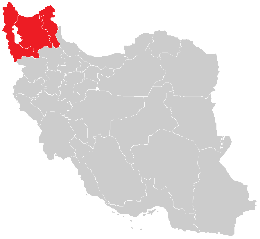
English: Map of the historical region of (Iranian) Azerbaijan |
| Datums | |
| Avots |
https://commons.wikimedia.org/w/index.php?title=File:Iranian-Azerbaijan.png&dir=prev#filehistory Based on the sources;
|
| Autors | HistoryofIran |
Licence
This file is licensed under the Creative Commons Attribution-Share Alike 4.0 International license.
- Jūs varat brīvi:
- koplietot – kopēt, izplatīt un pārraidīt darbu
- remiksēt – pielāgot darbu
- Saskaņā ar šādiem nosacījumiem:
- atsaucoties – Tev ir jānorāda autors, saite uz licenci un to, vai veiktas kādas izmaiņas. To var darīt jebkādā saprātīgā veidā, bet ne tādā, kas norādītu, ka licencētājs atbalsta tevi vai veidu, kā tu izmanto šo darbu.
- nemainot licenci – Ja tu miksē, pārveido vai izmanto materiālu, tev savs devums jāpublicē ar to pašu vai saderīgu licenci kā oriģināls.

|
This map image could be re-created using vector graphics as an SVG file. This has several advantages; see Commons:Media for cleanup for more information. If an SVG form of this image is available, please upload it and afterwards replace this template with
{{vector version available|new image name}}.
It is recommended to name the SVG file “Map of the historical region of (Iranian) Azerbaijan.svg”—then the template Vector version available (or Vva) does not need the new image name parameter. |
Faila hronoloģija
Uzklikšķini uz datums/laiks kolonnā esošās saites, lai apskatītos, kā šis fails izskatījās tad.
| Datums/Laiks | Attēls | Izmēri | Dalībnieks | Komentārs | |
|---|---|---|---|---|---|
| tagadējais | 2023. gada 29. septembris, plkst. 16.28 | | 895 × 823 (22 KB) | HistoryofIran | rv, WP:RS contradicts this. |
| 2023. gada 27. septembris, plkst. 12.24 |  | 895 × 823 (15 KB) | AkaneoMT | Added Zanjan province as a contested part of historical Azerbaijan | |
| 2022. gada 19. janvāris, plkst. 14.59 |  | 895 × 823 (22 KB) | HistoryofIran | Uploaded a work by HistoryofIran from https://commons.wikimedia.org/w/index.php?title=File:Iranian-Azerbaijan.png&dir=prev#filehistory with UploadWizard |
Faila lietojums
Šo failu izmanto šajā 1 lapā:
Globālais faila lietojums
Šīs Vikipēdijas izmanto šo failu:
- Izmantojums azb.wikipedia.org
- Izmantojums az.wikipedia.org
- Izmantojums bn.wikipedia.org
- Izmantojums ca.wikipedia.org
- Izmantojums diq.wikipedia.org
- Izmantojums en.wikipedia.org
- Izmantojums eo.wikipedia.org
- Izmantojums eu.wikipedia.org
- Izmantojums fr.wikipedia.org
- Izmantojums ga.wikipedia.org
- Izmantojums id.wikipedia.org
- Izmantojums ku.wikipedia.org
- Izmantojums mg.wikipedia.org
- Izmantojums ms.wikipedia.org
- Izmantojums nl.wikipedia.org
- Izmantojums ru.wikipedia.org
- Izmantojums sh.wikipedia.org
- Izmantojums simple.wikipedia.org
- Izmantojums sr.wikipedia.org
- Izmantojums uk.wikipedia.org
- Izmantojums www.wikidata.org
_Azerbaijan.png)