
Attēls:Mexico map, MX-DIF.svg

Size of this PNG preview of this SVG file: 800 × 544 pikseļi. Citi izmēri: 320 × 218 pikseļi | 640 × 435 pikseļi | 1 024 × 696 pikseļi | 1 280 × 870 pikseļi | 2 560 × 1 741 pikseļi | 1 000 × 680 pikseļi.
Sākotnējais fails (SVG fails, definētais izmērs 1 000 × 680 pikseļi, faila izmērs: 144 KB)
| Šis fails ir no Vikikrātuves. Tā apraksts no attēla lapas Vikikrātuvē ir parādīts zemāk. Vikikrātuve ir brīvi licencēta failu krātuve. Tu vari tai palīdzēt. |
Kopsavilkums
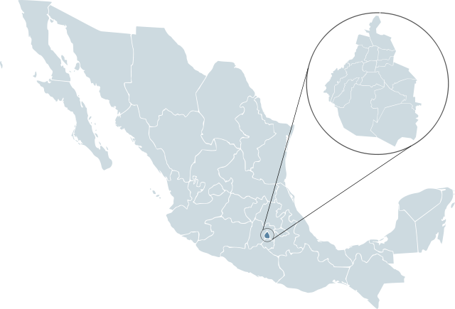
| Apraksts | Locator map for Distrito Federal within Mexico. | ||
| Datums | |||
| Avots | Mexico template.svg by Lokal_Profil | ||
| Autors | Lokal_Profil | ||
| Atļauja: (Šī faila izmantošana citur) |
Original image licensed under
|
||
| SVG veidošana |
Faila hronoloģija
Uzklikšķini uz datums/laiks kolonnā esošās saites, lai apskatītos, kā šis fails izskatījās tad.
| Datums/Laiks | Attēls | Izmēri | Dalībnieks | Komentārs | |
|---|---|---|---|---|---|
| tagadējais | 2008. gada 14. februāris, plkst. 02.47 | | 1 000 × 680 (144 KB) | El bart089 | {{Information |Description= |Source= |Date= |Author= |Permission= |other_versions= }} |
| 2007. gada 19. novembris, plkst. 04.26 |  | 1 000 × 680 (123 KB) | El bart089 | Based on the image made by Lokal Profil | |
| 2007. gada 4. jūlijs, plkst. 20.27 |  | 1 000 × 680 (117 KB) | Lokal Profil | {{Information |Description=Locator map for Distrito Federal within Mexico. |Source=Image:Mexico template.svg by Mario Fuente Cid <small>and Lokal_Profil</small> |Date=0 |
Faila lietojums
Šo failu neizmanto nevienā lapā.
Globālais faila lietojums
Šīs Vikipēdijas izmanto šo failu:
- Izmantojums af.wikipedia.org
- Izmantojums arz.wikipedia.org
- Izmantojums ay.wikipedia.org
- Izmantojums bs.wikipedia.org
- Izmantojums bxr.wikipedia.org
- Izmantojums de.wikipedia.org
- Izmantojums en.wikipedia.org
- Izmantojums es.wikipedia.org
- Organización Nacional Estudiantil de Fútbol Americano
- Liga Mayor 1945-46
- Torneo Verano 1997 (México)
- Liga Mayor 1946-47
- Liga Mayor 1947-48
- Primera División de México: México 1986
- Primera División de México PRODE 1985
- Torneo Apertura 2007 (México)
- Liga Mayor 1948-49
- Primera División de México 1992-93
- Primera División de México 1956-57
- Primera División de México 1958-59
- Primera División de México 1959-60
- Primera División de México 1960-61
- Primera División de México 1961-62
- Primera División de México 1969-70
- Liga Mexicana de Béisbol 1999
- Liga Mexicana de Béisbol 2000
- Liga Mexicana de Béisbol 2001
- Torneo Clausura 2008 (México)
- Torneo Apertura 2008 (México)
- Primera División de México 1991-92
- Categoría:Ciudad de México
- Torneo Clausura 2009 (México)
- Liga Mexicana de Béisbol 1925
- Liga Mexicana de Béisbol 1998
- Liga Mexicana de Béisbol 1997
- Liga Mexicana de Béisbol 1996
- Liga Mexicana de Béisbol 1994
- Liga Mexicana de Béisbol 1993
- Liga Mexicana de Béisbol 1995
- Torneo Apertura 2009 (México)
- Liga Mayor 1949-50
- Primera División de México 1950-51
Skatīt šī faila pilno globālo izmantojumu.