
Attēls:Peru physical map.svg

Size of this PNG preview of this SVG file: 492 × 600 pikseļi. Citi izmēri: 197 × 240 pikseļi | 394 × 480 pikseļi | 630 × 768 pikseļi | 840 × 1 024 pikseļi | 1 681 × 2 048 pikseļi | 851 × 1 037 pikseļi.
Sākotnējais fails (SVG fails, definētais izmērs 851 × 1 037 pikseļi, faila izmērs: 4,81 MB)
| Šis fails ir no Vikikrātuves. Tā apraksts no attēla lapas Vikikrātuvē ir parādīts zemāk. Vikikrātuve ir brīvi licencēta failu krātuve. Tu vari tai palīdzēt. |
Kopsavilkums
| Apraksts |
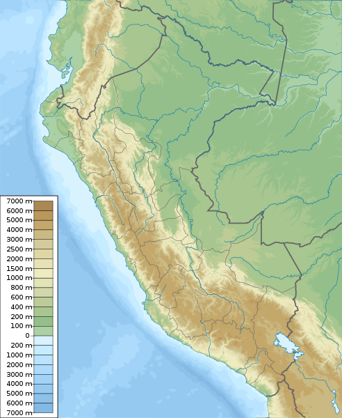
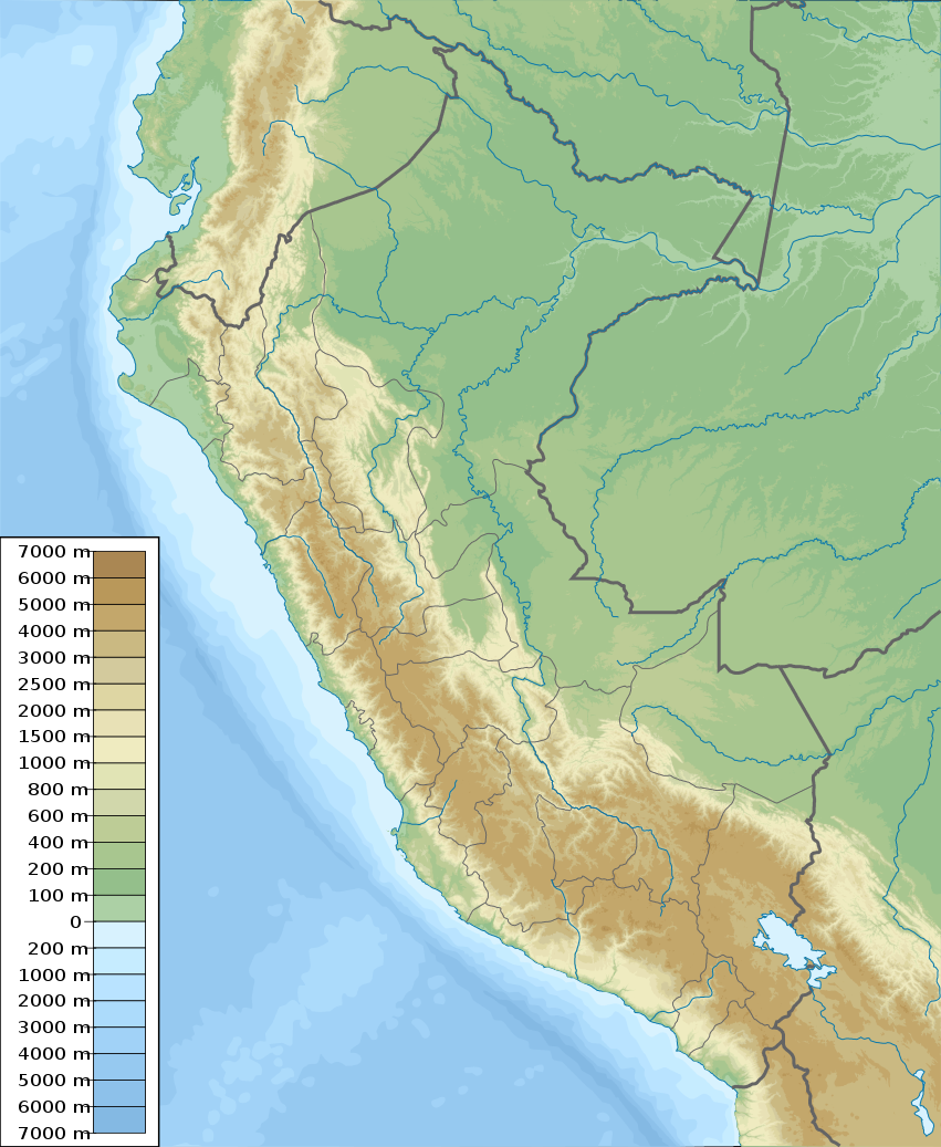
English: Physical map of Peru, parameters are equal to File:Peru location map.svg
Español: mapa físico de Perú, los parámetros son iguales a File:Peru location map.svg |
| Datums | |
| Avots | Paša darbs, topographical information from Shuttle Radar Topography Mission |
| Autors | Urutseg |
| SVG veidošana |
Licence
Es, šī darba autortiesību īpašnieks, publicēju to saskaņā ar šo licenci:
| This file is made available under the Creative Commons CC0 1.0 Universal Public Domain Dedication. | |
| The person who associated a work with this deed has dedicated the work to the public domain by waiving all of their rights to the work worldwide under copyright law, including all related and neighboring rights, to the extent allowed by law. You can copy, modify, distribute and perform the work, even for commercial purposes, all without asking permission.
|
Faila hronoloģija
Uzklikšķini uz datums/laiks kolonnā esošās saites, lai apskatītos, kā šis fails izskatījās tad.
| Datums/Laiks | Attēls | Izmēri | Dalībnieks | Komentārs | |
|---|---|---|---|---|---|
| tagadējais | 2011. gada 5. marts, plkst. 13.42 | | 851 × 1 037 (4,81 MB) | Urutseg | == Summary == {{Information |Description ={{en|1=Physical map of Peru, parameters are equal to Bolivia location map.svg}} |Source ={{own}} |Author =Urutseg |Date =2011-03-05 |Pe |
Faila lietojums
Šo failu izmanto šajās 3 lapās:
Globālais faila lietojums
Šīs Vikipēdijas izmanto šo failu:
- Izmantojums ar.wikipedia.org
- Izmantojums ast.wikipedia.org
- Izmantojums az.wikipedia.org
- Izmantojums ban.wikipedia.org
- Izmantojums ba.wikipedia.org
- Izmantojums be-tarask.wikipedia.org
- Izmantojums be.wikipedia.org
- Izmantojums bg.wikipedia.org
Skatīt šī faila pilno globālo izmantojumu.