
Attēls:West Bank location map.svg

Size of this PNG preview of this SVG file: 520 × 599 pikseļi. Citi izmēri: 208 × 240 pikseļi | 417 × 480 pikseļi | 667 × 768 pikseļi | 889 × 1 024 pikseļi | 1 778 × 2 048 pikseļi | 639 × 736 pikseļi.
Sākotnējais fails (SVG fails, definētais izmērs 639 × 736 pikseļi, faila izmērs: 106 KB)
| Šis fails ir no Vikikrātuves. Tā apraksts no attēla lapas Vikikrātuvē ir parādīts zemāk. Vikikrātuve ir brīvi licencēta failu krātuve. Tu vari tai palīdzēt. |
Kopsavilkums
| Apraksts |
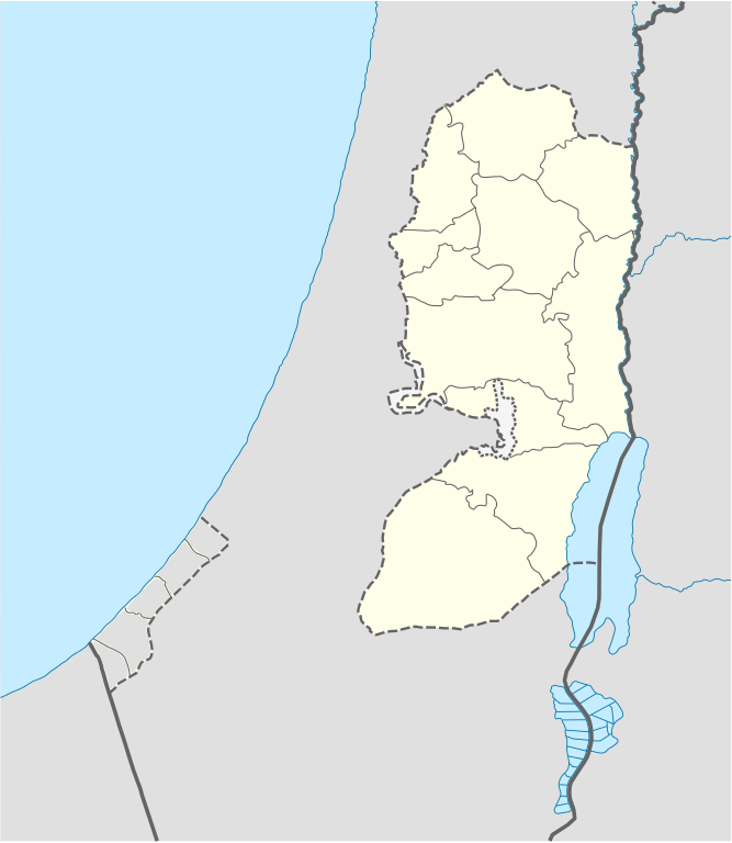
Deutsch: Positionskarte des Westjordanlandes
Quadratische Plattkarte, N-S-Streckung 115 %. Geographische Begrenzung der Karte:
English: Location map of the West Bank
Equirectangular projection, N/S stretching 115 %. Geographic limits of the map:
|
| Datums | |
| Avots |
own work, using
|
| Autors | NordNordWest, little changes made by Obersachse |

|
Šī karte bija uzlabota vācu Kartenwerkstatt. Jūs arī varat piedāvāt citas kartes uzlabošanai.
|
Licence
Es, šī darba autortiesību īpašnieks, publicēju to saskaņā ar šīm licencēm:

|
Ir dota atļauja kopēt, izplatīt un/vai pārveidot šo dokumentu saskaņā ar GNU brīvās dokumentācijas licences, versijas 1.2 vai jebkuras vēlākas versijas, ko publiskojis Brīvās programmatūras fonds nosacījumiem; bez nemainīgajām sadaļā, priekšējā un aizmugurēja'vāka tekstiem. Licences kopija ir iekļauta sadaļā ar nosaukumu GNU brīvās dokumentācijas licence. |
Šis fails tiek izplatīts saskaņā ar licences Creative Commons Atsauce-Līdzīgi Noteikumi 3.0 Vispārējiem noteikumiem.
- Jūs varat brīvi:
- koplietot – kopēt, izplatīt un pārraidīt darbu
- remiksēt – pielāgot darbu
- Saskaņā ar šādiem nosacījumiem:
- atsaucoties – Tev ir jānorāda autors, saite uz licenci un to, vai veiktas kādas izmaiņas. To var darīt jebkādā saprātīgā veidā, bet ne tādā, kas norādītu, ka licencētājs atbalsta tevi vai veidu, kā tu izmanto šo darbu.
- nemainot licenci – Ja tu miksē, pārveido vai izmanto materiālu, tev savs devums jāpublicē ar to pašu vai saderīgu licenci kā oriģināls.
Jūs varat izvēlēties licenci pēc jūsu vēlmes.
Faila hronoloģija
Uzklikšķini uz datums/laiks kolonnā esošās saites, lai apskatītos, kā šis fails izskatījās tad.
| Datums/Laiks | Attēls | Izmēri | Dalībnieks | Komentārs | |
|---|---|---|---|---|---|
| tagadējais | 2010. gada 6. septembris, plkst. 20.02 | | 639 × 736 (106 KB) | Obersachse | == {{int:filedesc}} == {{Information |Description= {{de|Positionskarte des Westjordanlandes}} Quadratische Plattkarte, N-S-Streckung 115 %. Geographische Begrenzung der Karte: * N: 32.7° N * S: 30.9° N * W: 34.0° O * O: 35.8° O {{en|Location map of th |
Faila lietojums
Šo failu izmanto šajā 1 lapā:
Globālais faila lietojums
Šīs Vikipēdijas izmanto šo failu:
- Izmantojums ar.wikipedia.org
- Izmantojums ba.wikipedia.org
- Izmantojums bn.wikipedia.org
- Izmantojums bs.wikipedia.org
- Izmantojums ceb.wikipedia.org
- Izmantojums ckb.wikipedia.org
- Izmantojums da.wikipedia.org
- Izmantojums de.wikipedia.org
- Izmantojums el.wikipedia.org
- Izmantojums en.wikipedia.org
- Bethlehem
- Cave of the Patriarchs
- Latrun
- Shechem
- Mamre
- Operation Defensive Shield
- Et-Tell
- Beitar Illit
- Ma'ale Adumim
- Ariel (Israeli settlement)
- Shiloh (biblical city)
- Gibeon (ancient city)
- Timnath-heres
- Ramathaim-Zophim
- Mount Gerizim
- Qalqilya
- Modi'in Illit
- Tubas (city)
- Jerusalem International Airport
- Cave of the Patriarchs massacre
- Jacob's Well
- Beit Sahour
- Battir
- Betar (ancient village)
- Mount Ebal
- Abu Dis
- Beth-zur
- Birzeit
- Al-Bireh
- Ofra
- Kedumim
Skatīt šī faila pilno globālo izmantojumu.