Modulis:VietasKarte/dati/Japāna
Izskats
| nosaukums | Japāna | ||
|---|---|---|---|
| x | 100*(($1>30.90)*($2 -128.24)/(149.27-128.24)+($1<=30.90)*($2 -110.43)/(131.44-110.43)) | ||
| y | 100*(($1>30.90)*($1-45.86)/(30.02-45.86)+($1<=30.90)*($1-39.54)/(23.71-39.54)) | ||
| attēls | Japan location map with side map of the Ryukyu Islands.svg
| ||

| |||
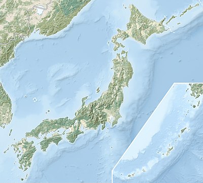
| attēls 1 | Japan natural location map with side map of the Ryukyu Islands.jpg
| ||

| |||
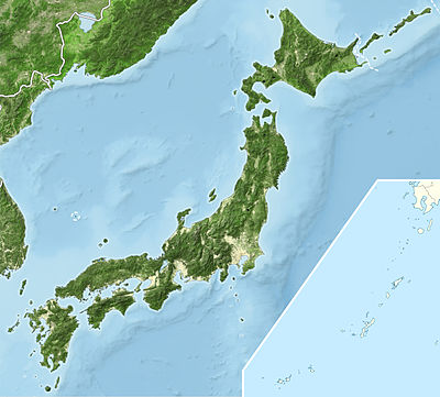
| attēls 2 | Japan bluemarble location map with side map of the Ryukyu Islands.jpg
| ||

| |||
Lietojums
Pastāv šādas veidnes:
{{VietasKarte | Japāna | ...}}{{Location map many | Japāna | ...}}{{VietasKarte+ | Japāna | ...}}{{VietasKarte~ | Japāna | ...}}
Kartes definīcija
name = Japāna- Nosaukums
image = Japan location map with side map of the Ryukyu Islands.svg- Kartes attēls
image1 = Japan natural location map with side map of the Ryukyu Islands.jpg- Cits kartes attēls, parasti reljefa karte, ko izsauc ar relief vai AlternativeMap parametru
image2 = Japan bluemarble location map with side map of the Ryukyu Islands.jpg- Cits kartes attēls, ko izsauc ar AlternativeMap parametru
x = 100*(($1>30.90)*($2 -128.24)/(149.27-128.24)+($1<=30.90)*($2 -110.43)/(131.44-110.43))- Izteiksme, kas tiek izmantota, lai aprēķinātu garuma grādus
y = 100*(($1>30.90)*($1-45.86)/(30.02-45.86)+($1<=30.90)*($1-39.54)/(23.71-39.54))- Izteiksme, kas tiek izmantota, lai aprēķinātu platuma grādus
| Dokumentācija iekļauta no Modulis:VietasKarte/dati/Japāna/doc (labot | hronoloģija) Vari eksperimentēt šī moduļa smilšu kastes (izveidot | spoguļversija) un testu (izveidot) lapā Moduļa apakšlapas. |
return {
	name = 'Japāna',
	x = '100*(($1>30.90)*($2 -128.24)/(149.27-128.24)+($1<=30.90)*($2 -110.43)/(131.44-110.43))',
	y = '100*(($1>30.90)*($1-45.86)/(30.02-45.86)+($1<=30.90)*($1-39.54)/(23.71-39.54))',
	image = 'Japan location map with side map of the Ryukyu Islands.svg',
	image1 = 'Japan natural location map with side map of the Ryukyu Islands.jpg',
	image2 = 'Japan bluemarble location map with side map of the Ryukyu Islands.jpg'
}
