
Attēls:Armenia adm location map.svg

Sākotnējais fails (SVG fails, definētais izmērs 1 169 × 1 198 pikseļi, faila izmērs: 146 KB)
| Šis fails ir no Vikikrātuves. Tā apraksts no attēla lapas Vikikrātuvē ir parādīts zemāk. Vikikrātuve ir brīvi licencēta failu krātuve. Tu vari tai palīdzēt. |
Kopsavilkums
| Apraksts |
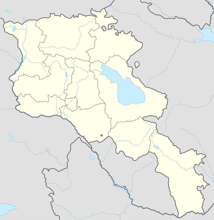
Deutsch: Positionskarte von Armenien
English: Location map of Armenia
|
||||||||||||
| Datums | |||||||||||||
| Avots |
Own work using:
|
||||||||||||
| Autors | NordNordWest | ||||||||||||

|
Šī karte bija uzlabota vācu Kartenwerkstatt. Jūs arī varat piedāvāt citas kartes uzlabošanai.
|
Licence
Usage of this file with:

explanatory notes: Legally binding is only the full legalcode. For a free usage I recommend to respect the following licence conditions:
1. Provide my name as given above: NordNordWest,
2. a copy of, or the URI for, the applicable license: https://creativecommons.org/licenses/by-sa/3.0/de/legalcode,
3. the title of the work,
4. in the case of an adaptation, a credit identifying the use of the work in the adaptation.
This license and the rights granted hereunder will terminate automatically upon any breach by you of the terms of this license. Any of the above conditions can be waived if you get permission from the copyright holder. If you have questions or wish differing conditions, please contact me through nnwest or my discussion page ![]() t-online.de
t-online.de
- Jūs varat brīvi:
- koplietot – kopēt, izplatīt un pārraidīt darbu
- remiksēt – pielāgot darbu
- Saskaņā ar šādiem nosacījumiem:
- atsaucoties – Tev ir jānorāda autors, saite uz licenci un to, vai veiktas kādas izmaiņas. To var darīt jebkādā saprātīgā veidā, bet ne tādā, kas norādītu, ka licencētājs atbalsta tevi vai veidu, kā tu izmanto šo darbu.
- nemainot licenci – Ja tu miksē, pārveido vai izmanto materiālu, tev savs devums jāpublicē ar to pašu vai saderīgu licenci kā oriģināls.

Faila hronoloģija
Uzklikšķini uz datums/laiks kolonnā esošās saites, lai apskatītos, kā šis fails izskatījās tad.
| Datums/Laiks | Attēls | Izmēri | Dalībnieks | Komentārs | |
|---|---|---|---|---|---|
| tagadējais | 2023. gada 20. novembris, plkst. 21.36 | | 1 169 × 1 198 (146 KB) | NordNordWest | back to original size |
| 2023. gada 20. novembris, plkst. 13.34 |  | 512 × 524 (130 KB) | Toghrul R | updated | |
| 2023. gada 20. janvāris, plkst. 12.32 |  | 1 169 × 1 198 (152 KB) | Golden | updating NK borders - no control in the south, removing old Lachin corridor | |
| 2020. gada 14. novembris, plkst. 20.06 |  | 1 169 × 1 198 (150 KB) | NordNordWest | . | |
| 2014. gada 21. oktobris, plkst. 23.58 |  | 1 169 × 1 198 (161 KB) | NordNordWest | == {{int:filedesc}} == {{Information |Description= {{de|1=Positionskarte von Armenien}} {{en|1=Location map of Armenia}} {{Location map series N |stretching=130 |top=41.4 |bottom=38.8 |left=43.4 |right=46.7 }} |Source={{Own using}} * United States Nati... |
Faila lietojums
Šo failu izmanto šajās 53 lapās:
- Ahavnadzora (Vajocdzoras marze)
- Ahndžadzora
- Areni
- Armēnijas Nacionālā galerija
- Armēnijas Premjerlīga
- Armēnijas pilsētu uzskaitījums
- Artaksata
- Artavana
- Artašata
- Azateka
- Bardzruni
- Bjurakanas observatorija
- Cahkadzora
- Daštademas cietoksnis
- Diližana
- Erebuni lidosta
- Erevāna
- Erevānas Valsts universitāte
- Erevānas Zilā mošeja
- Erevānas dzelzceļa stacija
- Garni templis
- Gjumri
- Gladzora
- Gnišika
- Gohtanika (Vajocdzoras marze)
- Herhera
- Horbateha
- Horsa
- Hrazdanas stadions
- Jehegisa
- Jehegnadzora
- Jelpina
- Kapujta
- Landžanista
- Mališka
- Matenadarans
- Mecamora
- Mozrova
- Māte Armēnija
- Noraznaberda
- Pora (Armēnija)
- Republikas laukums (Erevāna)
- Saravana (Armēnija)
- Taratumba
- Uhedzora
- Vagaršapata
- Vanadzora
- Vazgena Sargsjana republikāniskais stadions
- Vernašena
- Zedea
- Zvartnocas starptautiskā lidosta
- Šatina (Armēnija)
- Veidne:VietasKarte Armēnija
Globālais faila lietojums
Šīs Vikipēdijas izmanto šo failu:
- Izmantojums af.wikipedia.org
- Izmantojums als.wikipedia.org
- Izmantojums an.wikipedia.org
- Izmantojums ar.wikipedia.org
- Izmantojums ast.wikipedia.org
- Yeghipatrush
- Yereván
- Castiellu d'Erebuni
- Fortaleza d'Ertij
- Fortaleza de Kosh
- Lori Berd
- Ciudadela d'Horom
- Castiellu de Bjni
- Vorotnaberd
- Fortaleza Ajtala
- Amberd
- Baghaberd
- Castiellu de Yereván
- Berdkunk
- Fortaleza Berdavan
- Fortaleza Berdkunk
- Proshaberd
- Fortaleza Dashtadem
- Kakavaberd
- Fortaleza Halidzor
- Karmir Blur
- Sardari Berd
- Sev Berd
- Smbataberd
- Fuerte Tavush
- Teishebaini
- Yergevanits
- Ushiberd
- Tsitsernakaberd
- Echmiadzin
- Yerevandashat (ciudá antigua)
- Dvin
- Hnaberd (Aragatsotn)
- Argishtikhinili
- Fortaleza de Meghri
- Armavir (ciudá antigua)
- Módulu:Mapa de llocalización/datos/Armenia
- Módulu:Mapa de llocalización/datos/Armenia/usu
- Guiumri
- Bancu Central d'Armenia
- Yeghegnadzor
Skatīt šī faila pilno globālo izmantojumu.