
Attēls:Poland location map.svg

Size of this PNG preview of this SVG file: 617 × 600 pikseļi. Citi izmēri: 247 × 240 pikseļi | 494 × 480 pikseļi | 790 × 768 pikseļi | 1 053 × 1 024 pikseļi | 2 107 × 2 048 pikseļi | 861 × 837 pikseļi.
Sākotnējais fails (SVG fails, definētais izmērs 861 × 837 pikseļi, faila izmērs: 213 KB)
| Šis fails ir no Vikikrātuves. Tā apraksts no attēla lapas Vikikrātuvē ir parādīts zemāk. Vikikrātuve ir brīvi licencēta failu krātuve. Tu vari tai palīdzēt. |
Kopsavilkums
| Apraksts |
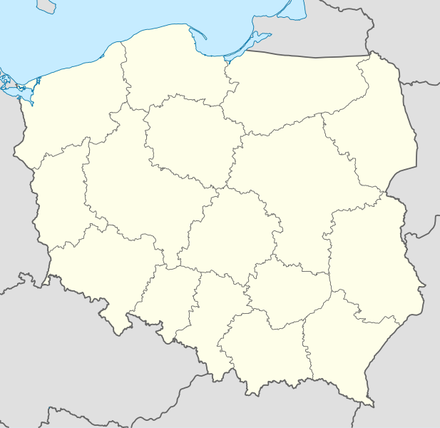
Deutsch: Positionskarte von Polen
Quadratische Plattkarte, N-S-Streckung 160 %. Geographische Begrenzung der Karte:
English: Location map of Poland
Equirectangular projection, N/S stretching 160 %. Geographic limits of the map:
|
||
| Datums | |||
| Avots |
Paša darbs using
|
||
| Autors | NordNordWest | ||
| Citas versijas |
|
||
| SVG veidošana | This W3C-invalid map was created with Adobe Illustrator.
|


Licence
Es, šī darba autortiesību īpašnieks, publicēju to saskaņā ar šīm licencēm:

|
Ir dota atļauja kopēt, izplatīt un/vai pārveidot šo dokumentu saskaņā ar GNU brīvās dokumentācijas licences, versijas 1.2 vai jebkuras vēlākas versijas, ko publiskojis Brīvās programmatūras fonds nosacījumiem; bez nemainīgajām sadaļā, priekšējā un aizmugurēja'vāka tekstiem. Licences kopija ir iekļauta sadaļā ar nosaukumu GNU brīvās dokumentācijas licence. |
Šis fails tiek izplatīts saskaņā ar licences Creative Commons Atsauce-Līdzīgi Noteikumi 3.0 Vispārējiem noteikumiem.
- Jūs varat brīvi:
- koplietot – kopēt, izplatīt un pārraidīt darbu
- remiksēt – pielāgot darbu
- Saskaņā ar šādiem nosacījumiem:
- atsaucoties – Tev ir jānorāda autors, saite uz licenci un to, vai veiktas kādas izmaiņas. To var darīt jebkādā saprātīgā veidā, bet ne tādā, kas norādītu, ka licencētājs atbalsta tevi vai veidu, kā tu izmanto šo darbu.
- nemainot licenci – Ja tu miksē, pārveido vai izmanto materiālu, tev savs devums jāpublicē ar to pašu vai saderīgu licenci kā oriģināls.
Jūs varat izvēlēties licenci pēc jūsu vēlmes.
Faila hronoloģija
Uzklikšķini uz datums/laiks kolonnā esošās saites, lai apskatītos, kā šis fails izskatījās tad.
| Datums/Laiks | Attēls | Izmēri | Dalībnieks | Komentārs | |
|---|---|---|---|---|---|
| tagadējais | 2012. gada 2. oktobris, plkst. 15.34 | | 861 × 837 (213 KB) | Palosirkka | Reverted to version as of 20:23, 23 November 2011 Location maps must remain very accurate |
| 2012. gada 1. oktobris, plkst. 23.37 |  | 861 × 837 (196 KB) | Palosirkka | Scrubbed with http://codedread.com/scour/ | |
| 2011. gada 23. novembris, plkst. 23.23 |  | 861 × 837 (213 KB) | NordNordWest | upd | |
| 2008. gada 8. decembris, plkst. 14.28 |  | 862 × 838 (377 KB) | NordNordWest | Reverted to version as of 09:25, 8 July 2008, an often used image shouldn't be changed without discussion | |
| 2008. gada 8. decembris, plkst. 12.26 |  | 862 × 838 (378 KB) | Mareklug | I made the featured background (territory of Poland) pure white for better contrast. | |
| 2008. gada 8. jūlijs, plkst. 12.25 |  | 862 × 838 (377 KB) | NordNordWest | {{Information |Description= {{de|Positionskarte von Polen}} Quadratische Plattkarte, N-S-Streckung 160 %. Geographische Begrenzung der Karte: * N: 55.2° N * S: 48.7° N * W: 13.8° O * O: 24.5° O {{en|Location map of Poland} |
Faila lietojums
Šo failu izmanto vairāk nekā 100 lapās. Šajā sarakstā ir tikai pirmās 100 lapas, kas izmanto šo failu. Pieejams arī pilns saraksts.
- Belhatova
- Belsko-Bjala
- Beņdzina
- Bidgošča
- Bilgoraja
- Bitoma
- Bjala Podlaska
- Bjalistoka
- Dienvidmazpolijas koka baznīcas
- Dombrova Gurņiča
- Elblonga
- Elka
- Firsta Piklera parks
- Gdaņska
- Gdiņa
- Glivice
- Glogova
- Gožova Velkopolska
- Grudzjondza
- Gņezno
- Helma
- Hožova
- Inovroclava
- Jastšembe Zdroja
- Javožno
- Jeleņa Gura
- Kališa
- Kalvarja Zebžidovska
- Katovice
- Kelce
- Keņdzežina-Kozle
- Koņina
- Košalina
- Krakova
- Kurova
- Legonovo
- Legņica
- Lešno
- Lipsko
- Lodza
- Lomža
- Lubina
- Malborka
- Meleca
- Meņdzižeca Podlaska
- Miera baznīcas
- Mislovice
- Novi Sonča
- Novi Targa
- Olština
- Opole
- Ostrolenka
- Ostrova Velkopolska
- Ostroveca Sventokšiska
- Pabjaņice
- Pekari Slonski
- Pila
- Pjotrkova Tribunalska
- Plocka
- Ploņska
- Polija
- Polijas administratīvais iedalījums
- Polijas pilsētu uzskaitījums
- Poznaņa
- Pruškova (Mazovija)
- Pšemisla
- Raciboža
- Radoma
- Ribņika
- Ruda Slonska
- Sedlce
- Semjanovice Slonske
- Slupska
- Sosnoveca
- Stalova Vola
- Starahovice
- Stargarda
- Suvalki
- Sventohlovice
- Svidņica
- Tarnobžega
- Tarnova
- Tarnovske Guri
- Tihi
- Tomašova Mazovecka
- Toruņa
- Tčeva
- Valbžiha
- Varšava
- Velička
- Vloclaveka
- Vroclava
- Zabže
- Zamosca
- Zaverce
- Zelona Gura
- Zgeža
- Čenstohova
- Ļubļina
- Ščecina
Skatīt vairāk saites uz šo failu.
Globālais faila lietojums
Šīs Vikipēdijas izmanto šo failu:
- Izmantojums ar.wikipedia.org
- Izmantojums av.wikipedia.org
- Izmantojums bn.wikipedia.org
- Izmantojums bs.wikipedia.org
- Izmantojums ceb.wikipedia.org
- Izmantojums ckb.wikipedia.org
- Izmantojums de.wikipedia.org
- Izmantojums diq.wikipedia.org
- Izmantojums el.wikipedia.org
- Izmantojums en.wikipedia.org
- Izmantojums en.wikivoyage.org
- Izmantojums en.wiktionary.org
- Izmantojums eo.wikipedia.org
- Izmantojums eo.wikivoyage.org
- Izmantojums es.wikipedia.org
- Izmantojums fa.wikipedia.org
- Izmantojums fo.wikipedia.org
- Izmantojums fr.wikipedia.org
- Izmantojums hr.wikipedia.org
- Izmantojums hsb.wikipedia.org
- Izmantojums hu.wikipedia.org
Skatīt šī faila pilno globālo izmantojumu.